Channel & Berth Profile
Pilotage, Tugs & Services
Pilotage compulsoryYES
Pilotage availableYES
Pilotage advisableYES
Tug assistanceYES
Salvage tugsYES
Potable waterYES
Diesel bunkersYES
MedicalYES
Garbage disposalYES
Facilities & Capabilities
Container—
Ro-Ro—
Liquid bulk—
Dry bulk—
Oil terminal—
Break bulk—
Dry dock—
RepairsNO
BunkeringYES
Rail linkYES
Dangerous cargo—
ISPS security—
Harbour Specifications
Harbour size
Medium
Harbour type
Coastal (Breakwater)
Shelter
Good
Water body
North Atlantic Ocean
Tidal range
4 m
Pilotage
Yes
Liner Connectivity
238.4
PLSCI
Port Liner Shipping Connectivity Index for Sines, as published by UNCTAD for the latest available quarter. Higher values indicate stronger scheduled liner-shipping integration.
Shown relative to the highest per-port PLSCI in the dataset (1,657.9).
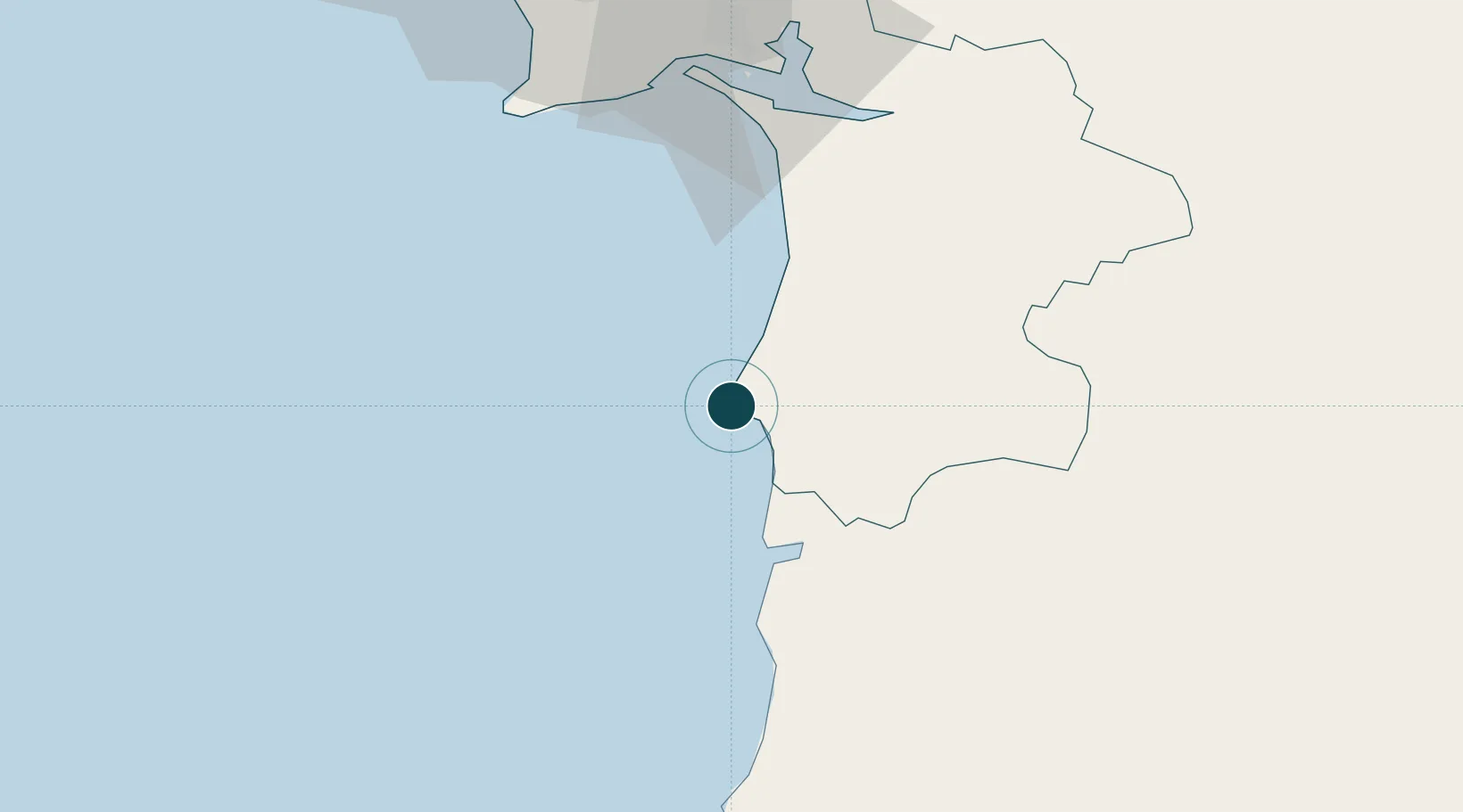
Location
Container Terminals · 1
SINES CONTAINER TERMINAL
SCT
Nearby Logistics Neighbours
Ports
- 1Setubal63 km
- 2Lisboa87 km
- 3Lagos97 km
- 4Faro131 km
- 5Vila Real De S Antonio155 km
Cities
- 1Santiago do Cacém16 km
- 2Almograve34 km
- 3Colos43 km
- 4Ermidas43 km
- 5Alcácer do Sal56 km
Airports
- 1Beja Airport / Airbase83 km
- 2Montijo Air Base86 km
- 3Portimão Airport93 km
- 4Lisbon Humberto Delgado Airport95 km
- 5Cascais Airport96 km
Trade Zones
- 1Puerto de Huelva185 km
- 2Zona Franca de Sevilla261 km
- 3Zona Franca de Cádiz281 km
- 4VGP Park Santa Maria da Feira333 km
- 5Zona Livre Tecnológica Masotinhos359 km
DatabookThe Record of Consolidated Knowledge
Portugal beyond logistics?