Medium airport · Portugal
Évora AirfieldLPEV
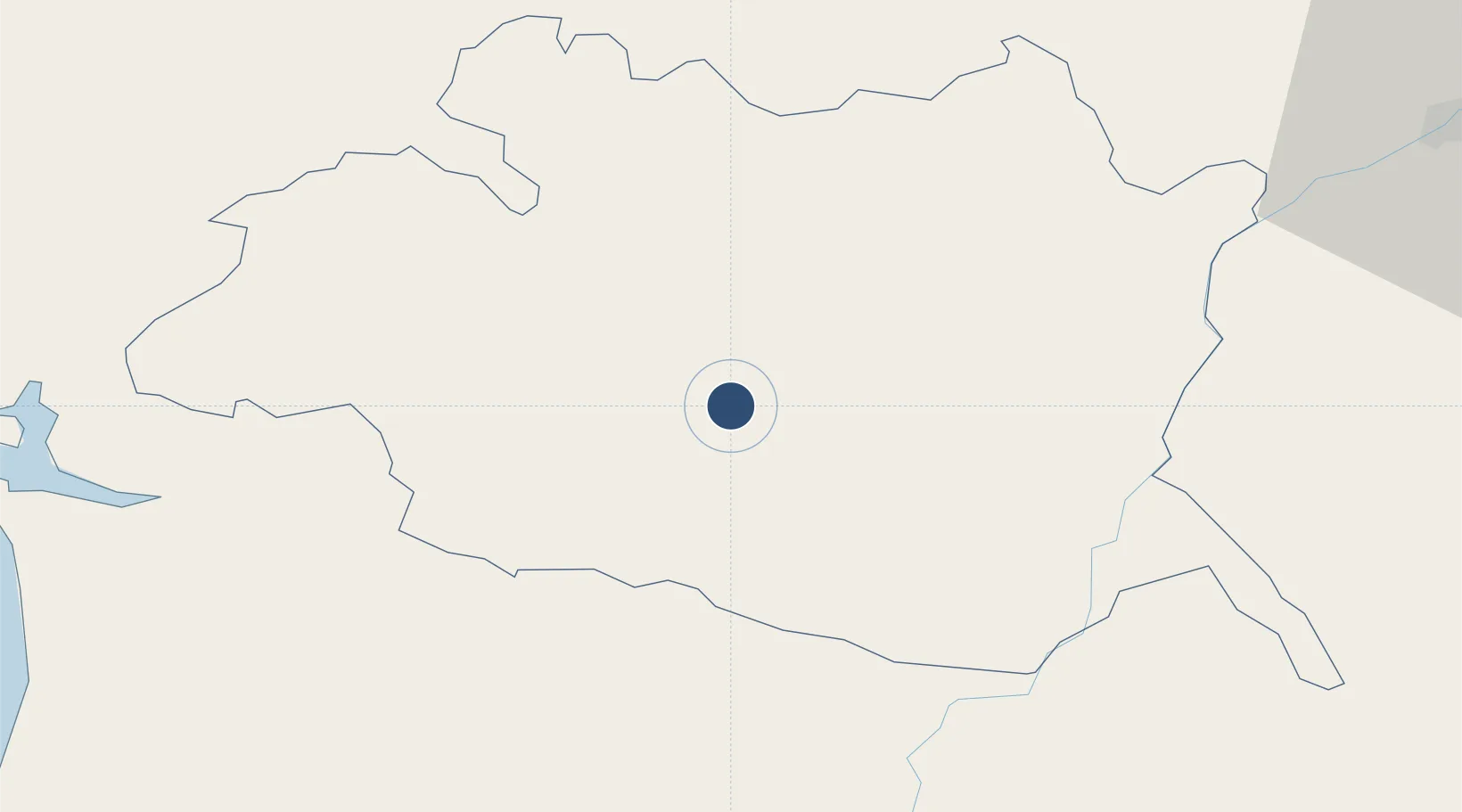
38.5335°, -7.8896°
4,265 ft
Longest runway
1
Runways
807 ft
Elevation
Runway & Layout

Radio Frequencies
AFIS
122.7 MHz
INFO
Runways · 1
| Runway | Dimensions | Surface | True heading | Lit |
|---|---|---|---|---|
| 01/19 | 4,265 × 75ft | Asphalt | 004° | — |
Airport Specifications
ICAO code
LPEV
Airport class
Medium airport
Scheduled service
No
Runway surface
Asphalt
Served city
Évora
Location
Nearby Logistics Neighbours
Airports
- 1Estremoz Municipal Heliport40 km
- 2Beja Airport / Airbase51 km
- 3Aeródromo Municipal de Ponte de Sor77 km
- 4Badajoz Airport101 km
- 5Montijo Air Base101 km
Ports
- 1Setubal88 km
- 2Sines107 km
- 3Lisboa113 km
- 4Vila Real De S Antonio156 km
- 5Huelva165 km
Trade Zones
- 1Puerto de Huelva164 km
- 2Zona Franca de Sevilla213 km
- 3Zona Franca de Cádiz268 km
- 4VGP Park Santa Maria da Feira273 km
- 5Zona Livre Tecnológica Masotinhos301 km
DatabookThe Record of Consolidated Knowledge
Portugal beyond logistics?