Export Processing Zone · Spain

Depósito Franco de Málaga Active
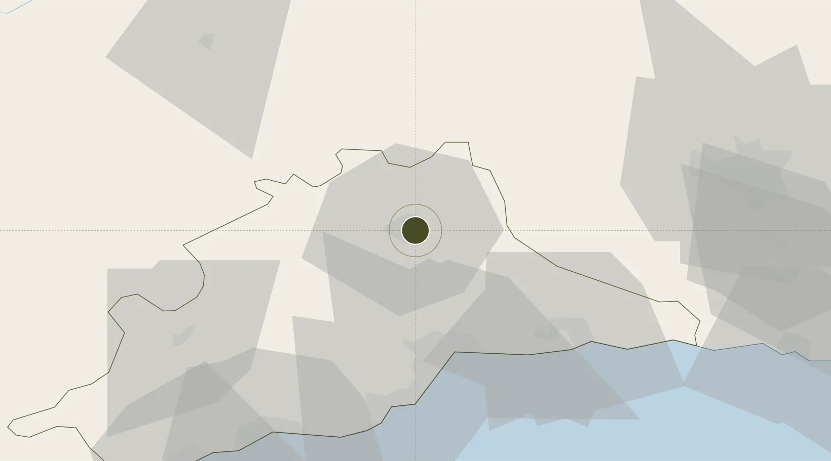
37.0430°, -4.5243°
0 ha
Zone area
37.5 km
Nearest port
41.0 km
Nearest airport

Gateway access

Nearest neighbours — logibook spatial index (haversine) over the source coordinates

Zone profile

Zone type
Export Processing Zone
Open Zone Map
Region
Málaga
Open Zone Map
Status
Active
Open Zone Map
Management
Private
Open Zone Map
Operator
Asociación Española de Concesionarios de Zonas y Depósitos Francos
Open Zone Map
Legal framework
Real Decreto-Ley N. 1491
Open Zone Map

Location

Location of ozm-4318
Natural Earth 10m (public domain) · Málaga · ozm-4318 · 37.04, -4.52GoogleOSMYandex

Nearby Logistics Neighbours

Ports
  1. 1Malaga38 km
  2. 2Motril95 km
  3. 3Algeciras130 km
  4. 4Sevilla136 km
  5. 5Adra137 km
Nearest neighbours — logibook spatial index (haversine) over the source coordinates
Airports
  1. 1Málaga-Costa del Sol Airport41 km
  2. 2F.G.L. Airport Granada-Jaén Airport68 km
  3. 3Armilla Air Base80 km
  4. 4Córdoba Airport93 km
  5. 5Moron Air Base98 km
Nearest neighbours — logibook spatial index (haversine) over the source coordinates
Cities
  1. 1Bobadilla16 km
  2. 2Casabermeja20 km
  3. 3El Tejar21 km
  4. 4Cuevas Bajas22 km
  5. 5Cuevas de San Marcos27 km
Nearest neighbours — logibook spatial index (haversine) over the source coordinates
Trade Zones
  1. 1Depósito Franco de Algeciras131 km
  2. 2Zona Franca de Sevilla135 km
  3. 3Autonomous City of Ceuta147 km
  4. 4Tanger Med Ksar el Majaz Mellousa Freeport163 km
  5. 5Zona Franca de Cádiz166 km
Nearest neighbours — logibook spatial index (haversine) over the source coordinates
DatabookThe Record of Consolidated Knowledge
Spain beyond logistics?
Browse databook

All Sources

Trade ZonesOpen Zone Map
CC BY
Portsthe NGA World Port Index
Public domain (US gov)
AirportsOurAirports
Public domain
LocationsUN/LOCODE
UN/LOCODE — free
← Spain trade zones