Transport Functions
Rail
Road
Hub Profile
Place type
Provincial seat
Region
Beja
Population
9,360
Time zone
Europe/Lisbon
Elevation
190 m
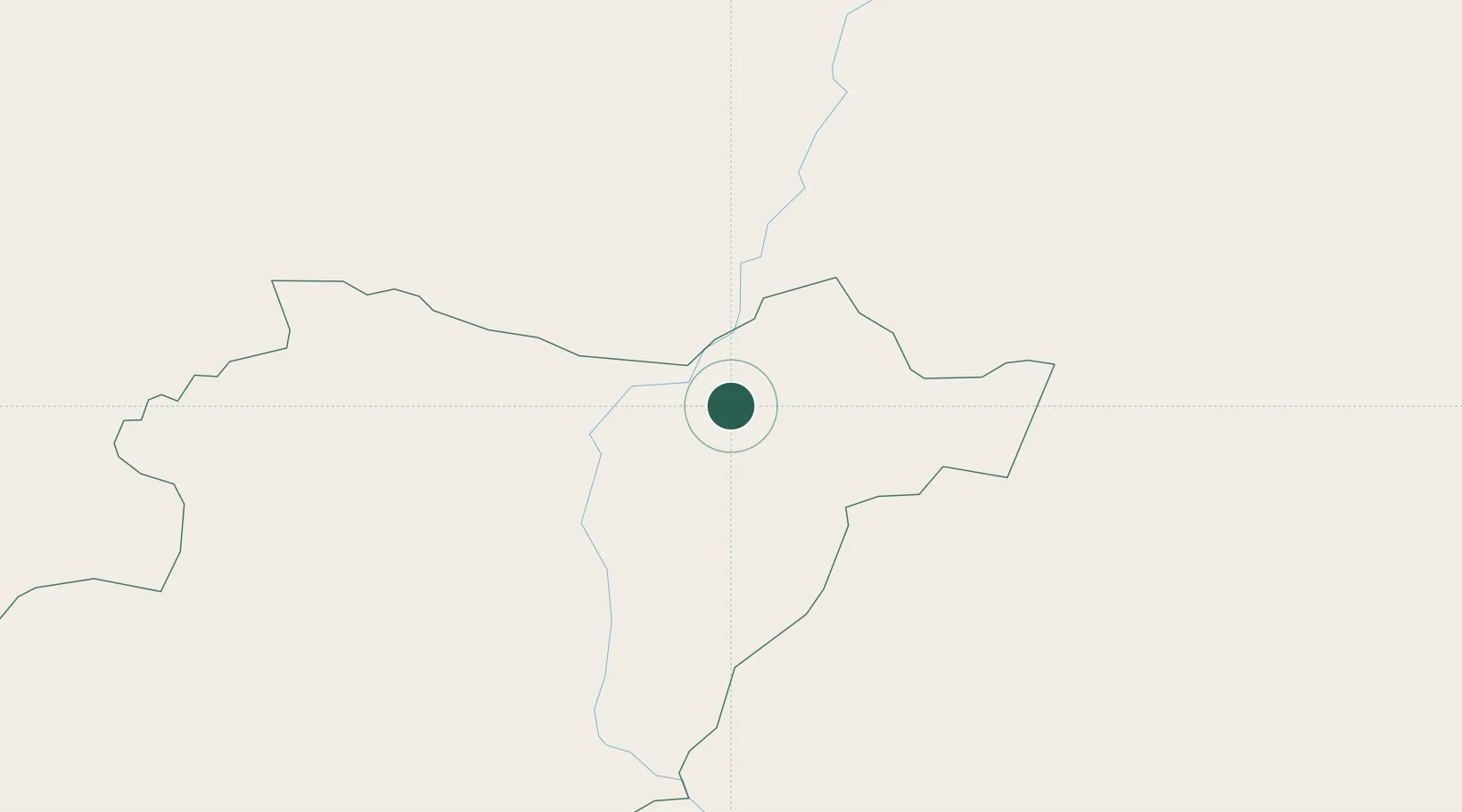
Location
Nearby Logistics Neighbours
Cities
- 1Freixeira17 km
- 2Pedrógão18 km
- 3Reguengos de Monsaraz32 km
- 4Vila de Frades33 km
- 5Cuba38 km
Ports
- 1Vila Real De S Antonio106 km
- 2Huelva108 km
- 3Sines126 km
- 4Faro130 km
- 5Setubal134 km
Airports
- 1Beja Airport / Airbase43 km
- 2Évora Airfield59 km
- 3Estremoz Municipal Heliport78 km
- 4Badajoz Airport101 km
- 5Madroñalejos Forest Fire fighting Heliport121 km
Trade Zones
- 1Puerto de Huelva106 km
- 2Zona Franca de Sevilla155 km
- 3Zona Franca de Cádiz210 km
- 4Depósito Franco de Málaga285 km
- 5Depósito Franco de Algeciras286 km
DatabookThe Record of Consolidated Knowledge
Portugal beyond logistics?