Transport Functions
Multimodal
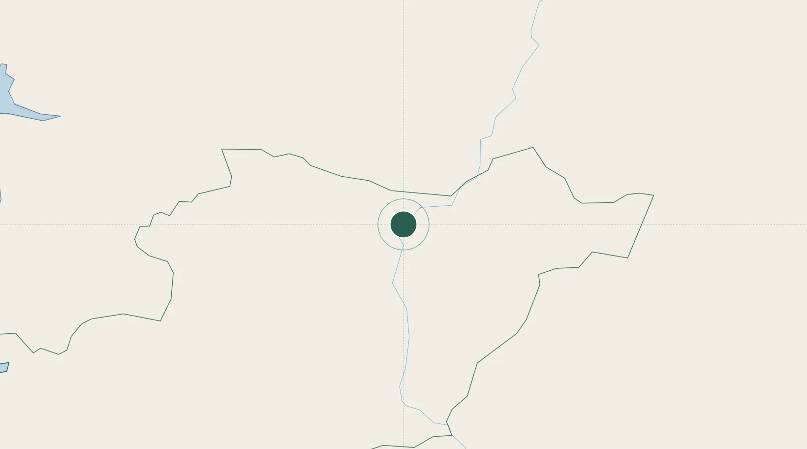
Hub Profile
Place type
Populated place
Region
Beja
Time zone
Europe/Lisbon
Elevation
127 m
Location
Nearby Logistics Neighbours
Cities
- 1Moura18 km
- 2Vila de Frades18 km
- 3Cuba21 km
- 4Beja22 km
- 5Alvito33 km
Ports
- 1Vila Real De S Antonio106 km
- 2Sines108 km
- 3Huelva114 km
- 4Setubal118 km
- 5Faro123 km
Airports
- 1Beja Airport / Airbase25 km
- 2Évora Airfield51 km
- 3Estremoz Municipal Heliport79 km
- 4Badajoz Airport112 km
- 5Faro - Gago Coutinho International Airport126 km
Trade Zones
- 1Puerto de Huelva113 km
- 2Zona Franca de Sevilla169 km
- 3Zona Franca de Cádiz217 km
- 4Depósito Franco de Algeciras296 km
- 5Depósito Franco de Málaga300 km
DatabookThe Record of Consolidated Knowledge
Portugal beyond logistics?