Transport Functions
Port
Multimodal
Hub Profile
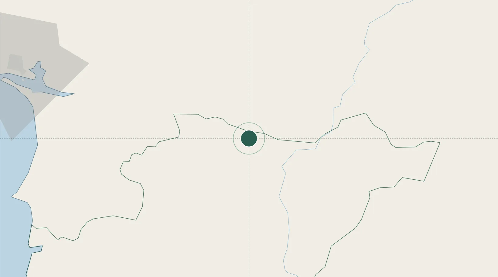
Place type
Populated place
Region
Beja
Time zone
Europe/Lisbon
Elevation
223 m
Location
Nearby Logistics Neighbours
Cities
- 1Cuba8 km
- 2Alvito15 km
- 3Pedrógão18 km
- 4Viana do Alentejo21 km
- 5Beja23 km
Ports
- 1Sines97 km
- 2Setubal100 km
- 3Vila Real De S Antonio121 km
- 4Lisboa129 km
- 5Huelva132 km
Airports
- 1Beja Airport / Airbase18 km
- 2Évora Airfield36 km
- 3Estremoz Municipal Heliport70 km
- 4Aeródromo Municipal de Ponte de Sor113 km
- 5Badajoz Airport115 km
Trade Zones
- 1Puerto de Huelva130 km
- 2Zona Franca de Sevilla187 km
- 3Zona Franca de Cádiz235 km
- 4VGP Park Santa Maria da Feira309 km
- 5Depósito Franco de Algeciras314 km
DatabookThe Record of Consolidated Knowledge
Portugal beyond logistics?