Seaport · Spain
HuelvaESHUV
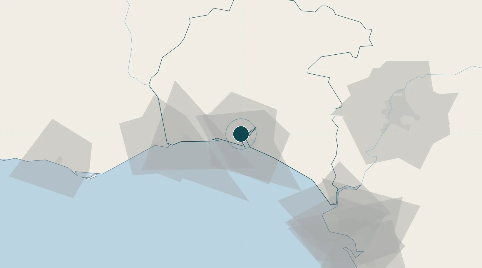
37.2500°, -6.9500°
12.5 m
Channel depth
1
Container terminals
37.0
Port liner connectivity
Channel & Berth Profile
Pilotage, Tugs & Services
Pilotage compulsoryYES
Pilotage availableYES
Pilotage advisableYES
Tug assistanceYES
Shore powerYES
Potable waterYES
Diesel bunkersYES
MedicalYES
Garbage disposalYES
Facilities & Capabilities
Container—
Ro-Ro—
Liquid bulk—
Dry bulk—
Oil terminal—
Break bulk—
Dry dockNO
RepairsNO
BunkeringYES
Rail linkYES
Dangerous cargo—
ISPS security—
Harbour Specifications
Harbour size
Medium
Harbour type
River (Natural)
Shelter
Good
Water body
North Atlantic Ocean
Tidal range
4 m
Pilotage
Yes
Liner Connectivity
37
PLSCI
Port Liner Shipping Connectivity Index for Huelva, as published by UNCTAD for the latest available quarter. Higher values indicate stronger scheduled liner-shipping integration.
Shown relative to the highest per-port PLSCI in the dataset (1,657.9).
Location
Container Terminals · 1
HUELVA CONTAINER TERMINAL
PDH YILPORT HOLDING INC.
Nearby Logistics Neighbours
Ports
- 1Vila Real De S Antonio41 km
- 2Sevilla85 km
- 3Rota89 km
- 4Faro90 km
- 5Cadiz98 km
Cities
- 1Aljaraque6 km
- 2Gibraleon15 km
- 3El Rompido15 km
- 4Cartaya18 km
- 5La Barca Florida20 km
Airports
Trade Zones
- 1Puerto de Huelva1 km
- 2Zona Franca de Sevilla85 km
- 3Zona Franca de Cádiz103 km
- 4Depósito Franco de Algeciras184 km
- 5Tanger Free Export Zone194 km
DatabookThe Record of Consolidated Knowledge
Spain beyond logistics?