Seaport · Portugal
LisboaPTLIS
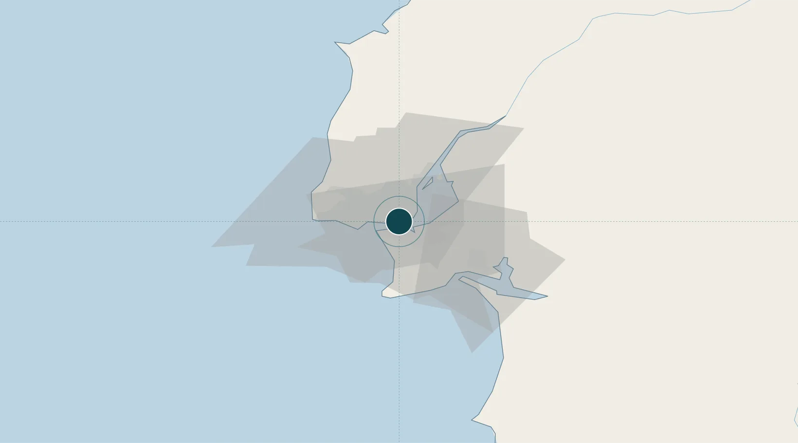
38.7000°, -9.1667°
14.0 m
Channel depth
4
Container terminals
171.3
Port liner connectivity
Channel & Berth Profile
Pilotage, Tugs & Services
Pilotage compulsoryYES
Pilotage availableYES
Tug assistanceYES
Salvage tugsYES
Potable waterYES
Diesel bunkersYES
MedicalYES
Garbage disposalYES
Facilities & Capabilities
Container—
Ro-Ro—
Liquid bulk—
Dry bulk—
Oil terminal—
Break bulk—
Dry dockNO
RepairsNO
BunkeringYES
Rail linkYES
Dangerous cargo—
ISPS security—
Harbour Specifications
Harbour size
Large
Harbour type
River (Natural)
Shelter
Excellent
Water body
North Atlantic Ocean
Tidal range
5 m
Overhead limit
Yes
Pilotage
Yes
Liner Connectivity
171.3
PLSCI
Port Liner Shipping Connectivity Index for Lisboa, as published by UNCTAD for the latest available quarter. Higher values indicate stronger scheduled liner-shipping integration.
Shown relative to the highest per-port PLSCI in the dataset (1,657.9).
Location
Container Terminals · 4
LISCONT CONTAINER TERMINAL
LISC YILPORT HOLDING INC.
LISBON MULTIPURPOSE TERMINAL (TML)
OLIS OPERLIS, SA
SANTA APOLONIA CONTAINER TERMINAL (TCSA)
SOTA SOTAGUS, SA
BEATO MULTIPURPOSE TERMINAL (TMB)
TMB TERMINAL MULTIUSOS DO BEATO (TMB)
Nearby Logistics Neighbours
Ports
- 1Setubal31 km
- 2Sines87 km
- 3Figueira Da Foz164 km
- 4Lagos184 km
- 5Faro215 km
Cities
- 1Almada2 km
- 2Memória3 km
- 3Cova da Piedade4 km
- 4Banatica5 km
- 5Caparica5 km
Airports
- 1Lisbon Humberto Delgado Airport9 km
- 2Montijo Air Base12 km
- 3Cascais Airport17 km
- 4Sintra Air Base21 km
- 5Alverca Air Base24 km
Trade Zones
- 1Puerto de Huelva251 km
- 2VGP Park Santa Maria da Feira253 km
- 3Zona Livre Tecnológica Masotinhos278 km
- 4Zona Franca de Sevilla316 km
- 5Zona Franca de Cádiz354 km
DatabookThe Record of Consolidated Knowledge
Portugal beyond logistics?