Runway & Layout

Airport Specifications
Airport class
Heliport
Scheduled service
Yes
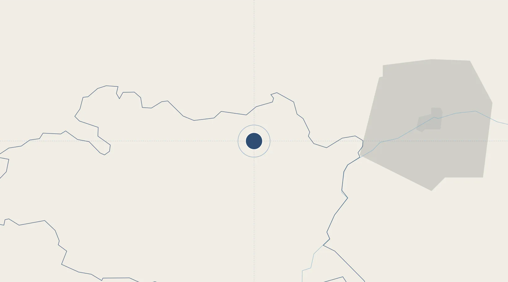
Served city
Estremoz
Location
Nearby Logistics Neighbours
Airports
- 1Évora Airfield40 km
- 2Aeródromo Municipal de Ponte de Sor58 km
- 3Badajoz Airport69 km
- 4Beja Airport / Airbase88 km
- 5Tancos Airbase97 km
Cities
- 1Estremoz4 km
- 2Borba14 km
- 3Souzel15 km
- 4Vila Viçosa17 km
- 5Azaruja20 km
Ports
- 1Setubal117 km
- 2Lisboa136 km
- 3Sines147 km
- 4Figueira Da Foz182 km
- 5Vila Real De S Antonio183 km
Trade Zones
- 1Puerto de Huelva183 km
- 2Zona Franca de Sevilla217 km
- 3VGP Park Santa Maria da Feira248 km
- 4Zona Livre Tecnológica Masotinhos277 km
- 5Zona Franca de Cádiz284 km
DatabookThe Record of Consolidated Knowledge
Portugal beyond logistics?