Transport Functions
Multimodal
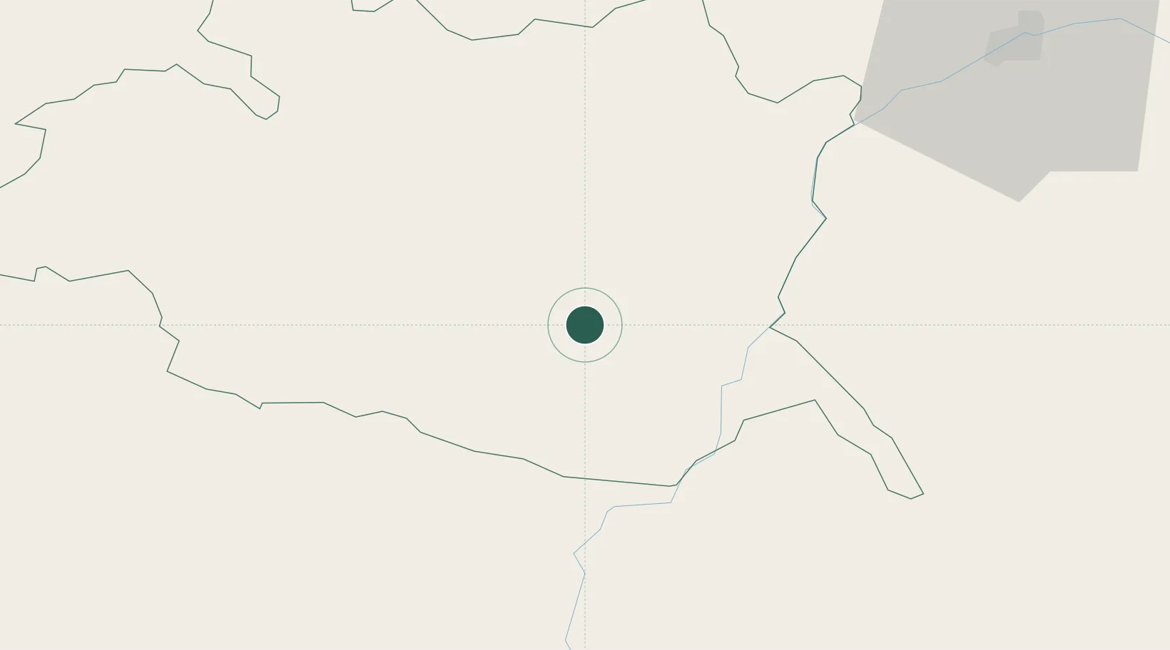
Hub Profile
Place type
Populated place
Region
Évora
Time zone
Europe/Lisbon
Elevation
204 m
Location
Nearby Logistics Neighbours
Cities
- 1Reguengos de Monsaraz11 km
- 2Évora25 km
- 3Vila de Frades30 km
- 4Azaruja30 km
- 5Viana do Alentejo33 km
Ports
- 1Setubal109 km
- 2Sines120 km
- 3Lisboa135 km
- 4Vila Real De S Antonio143 km
- 5Huelva147 km
Airports
- 1Évora Airfield23 km
- 2Estremoz Municipal Heliport42 km
- 3Beja Airport / Airbase48 km
- 4Badajoz Airport87 km
- 5Aeródromo Municipal de Ponte de Sor92 km
Trade Zones
- 1Puerto de Huelva146 km
- 2Zona Franca de Sevilla191 km
- 3Zona Franca de Cádiz249 km
- 4VGP Park Santa Maria da Feira287 km
- 5Zona Livre Tecnológica Masotinhos316 km
DatabookThe Record of Consolidated Knowledge
Portugal beyond logistics?