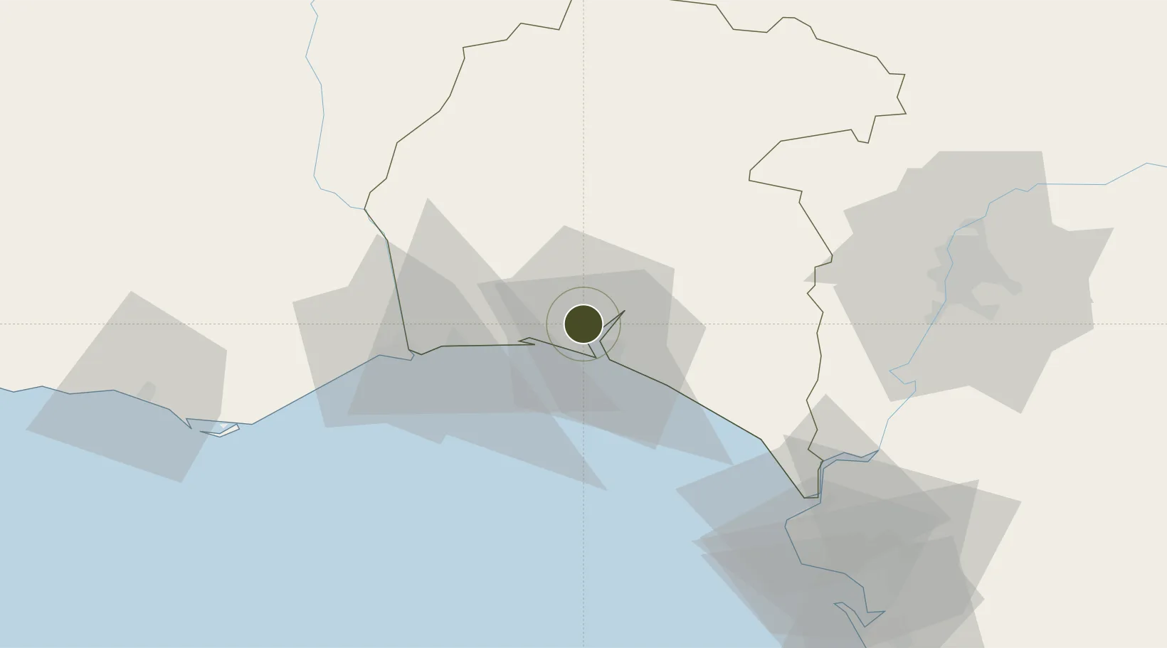
Export Processing Zone · Spain

Puerto de Huelva Active

37.2592°, -6.9605°
1,700 ha
Zone area
1.4 km
Nearest port
66.3 km
Nearest airport

Gateway access

Nearest neighbours — logibook spatial index (haversine) over the source coordinates

Zone profile

Zone type
Export Processing Zone
Open Zone Map
Region
Huelva
Open Zone Map
Status
Active
Open Zone Map
Management
Public-Private Partnership
Open Zone Map
Operator
Consorcio del Puerto de Huelva
Open Zone Map
Legal framework
Real Decreto-Ley N. 1491
Open Zone Map

Location

Location of ozm-4327
Natural Earth 10m (public domain) · Huelva · ozm-4327 · 37.26, -6.96GoogleOSMYandex

Nearby Logistics Neighbours

Ports
  1. 1Huelva1 km
  2. 2Vila Real De S Antonio40 km
  3. 3Sevilla86 km
  4. 4Faro90 km
  5. 5Rota91 km
Nearest neighbours — logibook spatial index (haversine) over the source coordinates
Airports
  1. 1Madroñalejos Forest Fire fighting Heliport66 km
  2. 2Rota Naval Station Airport87 km
  3. 3Faro - Gago Coutinho International Airport94 km
  4. 4Seville Airport96 km
  5. 5Jerez Airport98 km
Nearest neighbours — logibook spatial index (haversine) over the source coordinates
Cities
  1. 1Aljaraque5 km
  2. 2Huelva8 km
  3. 3Gibraleon14 km
  4. 4El Rompido15 km
  5. 5Cartaya17 km
Nearest neighbours — logibook spatial index (haversine) over the source coordinates
Trade Zones
  1. 1Zona Franca de Sevilla85 km
  2. 2Zona Franca de Cádiz105 km
  3. 3Depósito Franco de Algeciras185 km
  4. 4Tanger Free Export Zone196 km
  5. 5Tanger Med Ksar el Majaz Mellousa Freeport201 km
Nearest neighbours — logibook spatial index (haversine) over the source coordinates
DatabookThe Record of Consolidated Knowledge
Spain beyond logistics?
Browse databook

All Sources

Trade ZonesOpen Zone Map
CC BY
Portsthe NGA World Port Index
Public domain (US gov)
AirportsOurAirports
Public domain
LocationsUN/LOCODE
UN/LOCODE — free
← Spain trade zones