Medium airport · Portugal
Beja Airport / AirbaseLPBJ
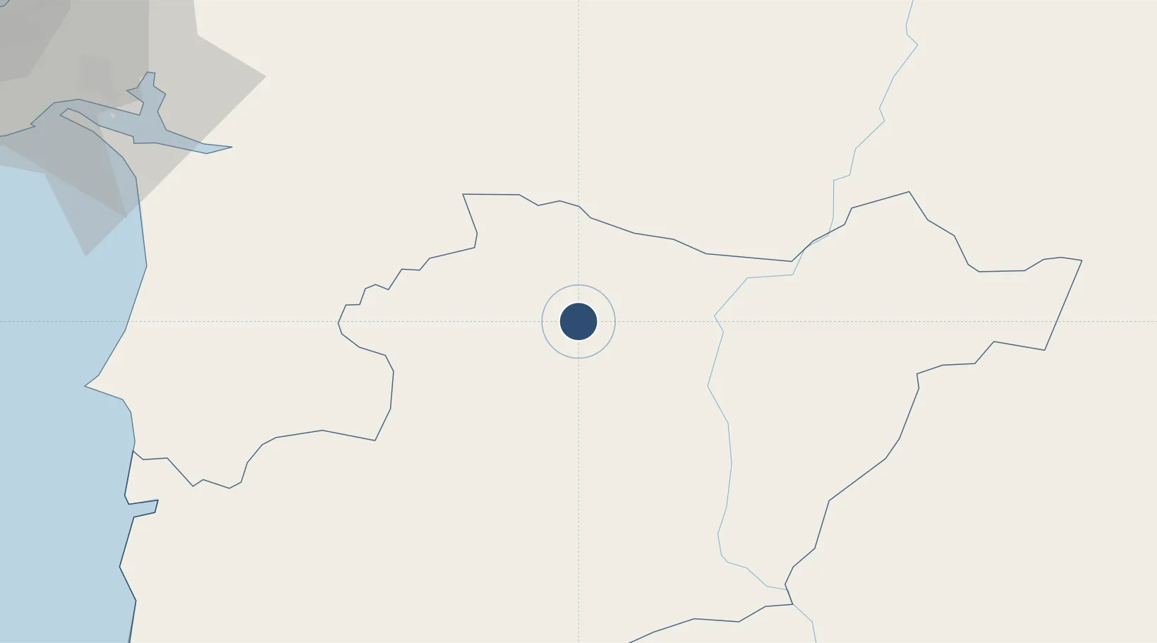
38.0789°, -7.9324°
11,319 ft
Longest runway
2
Runways
636 ft
Elevation
Runway & Layout

Radio Frequencies
TWR
130.4 MHz
GND
23.4 MHz
APP
130.1 MHz
Navaids
BEJ VORTAC Beja 115.80 MHz
BJA NDB Beja 376 kHz
Runways · 2
| Runway | Dimensions | Surface | True heading | Lit |
|---|---|---|---|---|
| 01L/19R | 11,319 × 197ft | Concrete | 006° | ✓ |
| 01R/19L | 9,682 × 98ft | Concrete | 006° | — |
Airport Specifications
IATA code
BYJ
ICAO code
LPBJ
Airport class
Medium airport
Scheduled service
No
Runway surface
Concrete
Served city
Beja
Location
Nearby Logistics Neighbours
Airports
- 1Évora Airfield51 km
- 2Estremoz Municipal Heliport88 km
- 3Portimão Airport118 km
- 4Faro - Gago Coutinho International Airport118 km
- 5Montijo Air Base119 km
Cities
- 1Beja9 km
- 2Cuba11 km
- 3Vila de Frades18 km
- 4Alvito20 km
- 5Pedrógão25 km
Ports
- 1Sines83 km
- 2Setubal98 km
- 3Vila Real De S Antonio110 km
- 4Faro116 km
- 5Lagos124 km
Trade Zones
- 1Puerto de Huelva125 km
- 2Zona Franca de Sevilla189 km
- 3Zona Franca de Cádiz229 km
- 4Depósito Franco de Algeciras310 km
- 5Tanger Free Export Zone318 km
DatabookThe Record of Consolidated Knowledge
Portugal beyond logistics?