Medium airport · Portugal
Aeródromo Municipal de Ponte de SorLPSO
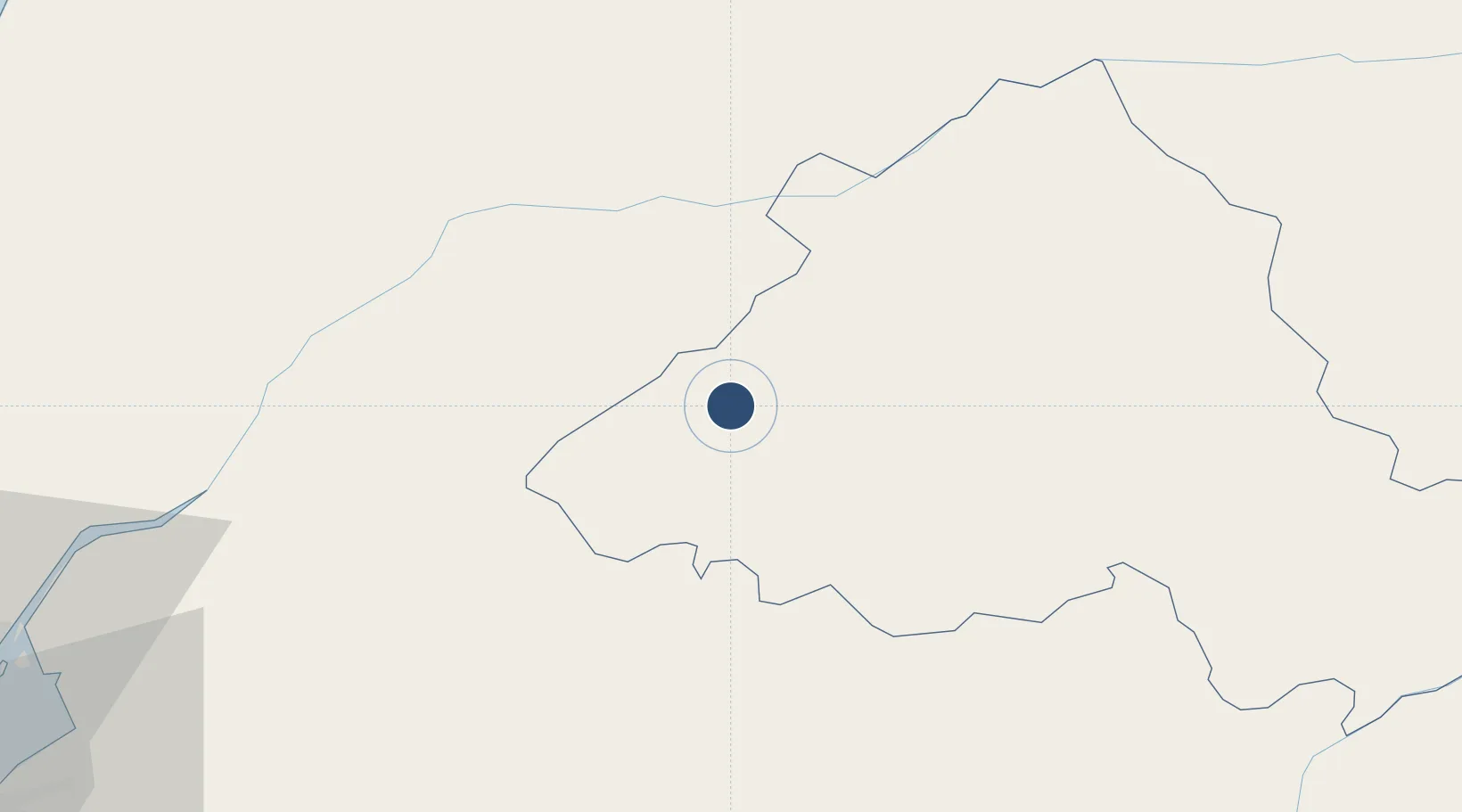
39.2115°, -8.0578°
5,906 ft
Longest runway
1
Runways
390 ft
Elevation
Runway & Layout

Runways · 1
| Runway | Dimensions | Surface | True heading | Lit |
|---|---|---|---|---|
| 03/21 | 5,906 × 98ft | asphalt | — | ✓ |
Airport Specifications
ICAO code
LPSO
Airport class
Medium airport
Scheduled service
No
Runway surface
asphalt
Served city
Ponte de Sor
Location
Nearby Logistics Neighbours
Airports
- 1Tancos Airbase39 km
- 2Estremoz Municipal Heliport58 km
- 3Évora Airfield77 km
- 4Aerodromo de Castelo Branco88 km
- 5Alverca Air Base92 km
Cities
- 1Ponte de Sor6 km
- 2Abrantes31 km
- 3Tramagal31 km
- 4Mora32 km
- 5Crato37 km
Ports
- 1Setubal106 km
- 2Lisboa112 km
- 3Figueira Da Foz124 km
- 4Sines157 km
- 5Aveiro168 km
Trade Zones
- 1VGP Park Santa Maria da Feira196 km
- 2Zona Livre Tecnológica Masotinhos225 km
- 3Puerto de Huelva237 km
- 4Zona Franca de Sevilla275 km
- 5Zona Franca de Cádiz340 km
DatabookThe Record of Consolidated Knowledge
Portugal beyond logistics?