Large airport · Yemen
Seiyun Hadhramaut International AirportOYSY
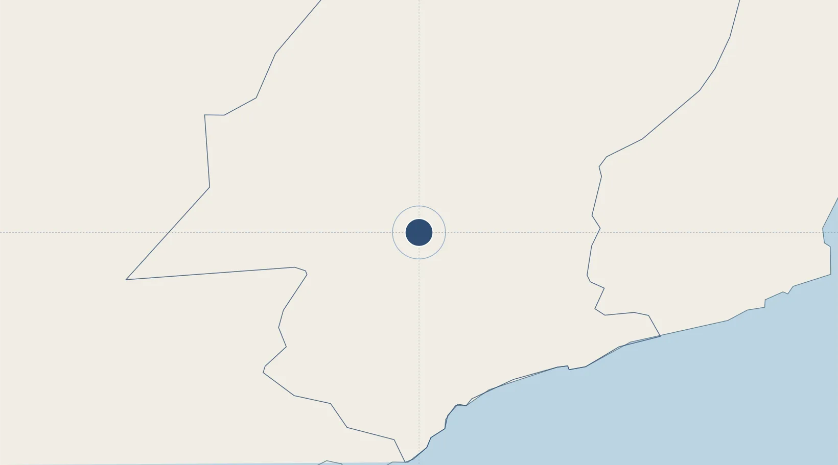
15.9659°, 48.7881°
9,843 ft
Longest runway
1
Runways
2,097 ft
Elevation
Runway & Layout

Radio Frequencies
TWR
118.4 MHz
Navaids
SYN NDB Sayun 385 kHz
Runways · 1
| Runway | Dimensions | Surface | True heading | Lit |
|---|---|---|---|---|
| 07/25 | 9,843 × 120ft | Asphalt | 068° | — |
Airport Specifications
IATA code
GXF
ICAO code
OYSY
Airport class
Large airport
Scheduled service
Yes
Runway surface
Asphalt
Served city
Seiyun
Location
Nearby Logistics Neighbours
Airports
- 1Riyan International Airport158 km
- 2Sharurah Domestic Airport244 km
- 3Ataq Airport263 km
- 4Al Ghaydah International Airport363 km
- 5Sanaa International Airport492 km
Cities
- 1Al Mukalla165 km
- 2Mukalla165 km
- 3Chorula290 km
- 4Al Mazunah459 km
- 5Habaching510 km
Ports
- 1Ash Shihr Oil Terminal159 km
- 2Al Mukalla165 km
- 3Balhaf232 km
- 4Nishtun365 km
- 5Boosaaso522 km
Trade Zones
- 1Al Mazunah Free Zone461 km
- 2Najran Industrial City506 km
- 3Aden Free Zone538 km
- 4Salalah Ṣalālah Free Zone573 km
- 5Jazan Industrial City665 km
DatabookThe Record of Consolidated Knowledge
Yemen beyond logistics?