Medium airport · India

Udhampur Air Force StationVIUX
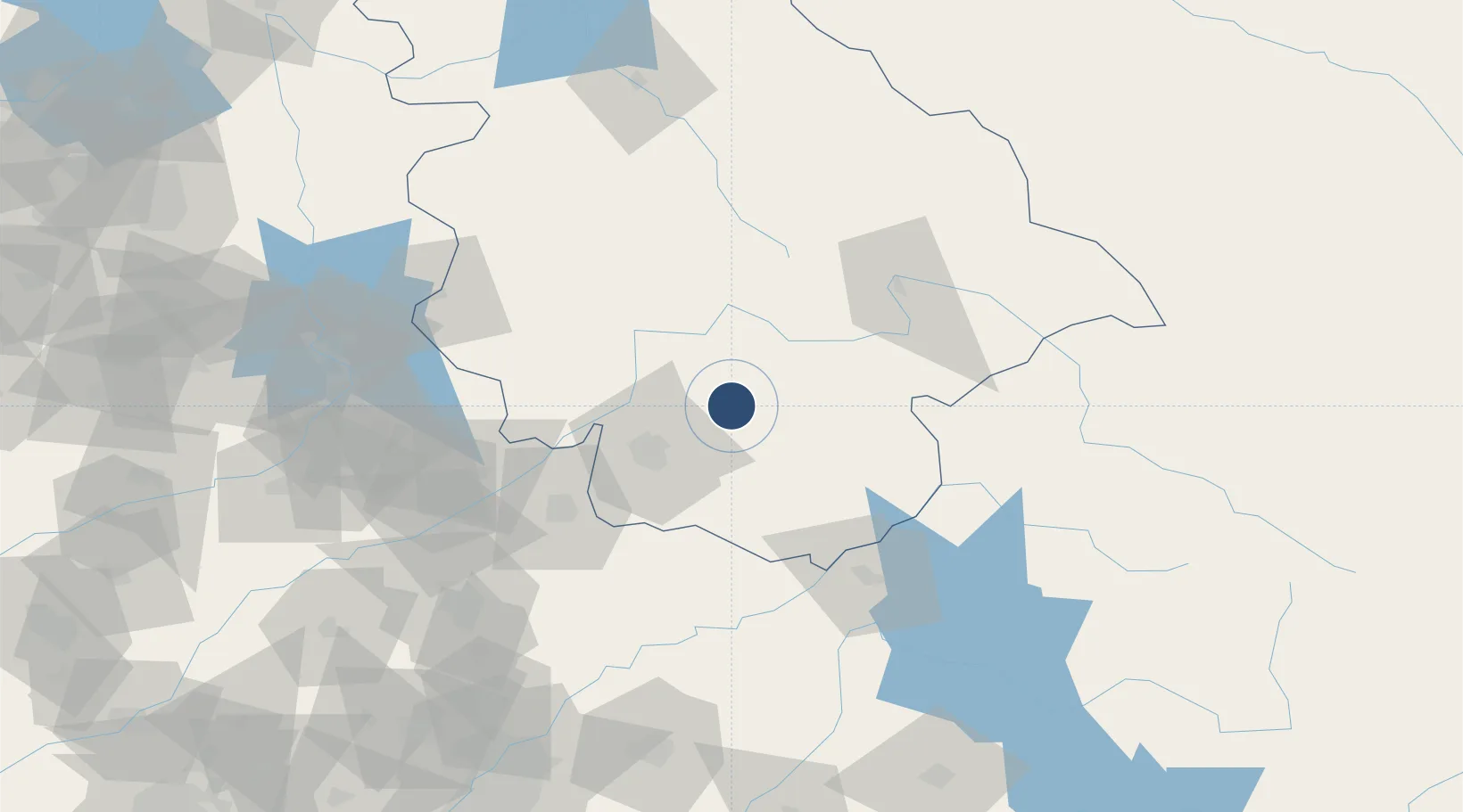
32.9022°, 75.1557°
9,000 ft
Longest runway
1
Runways
2,066 ft
Elevation

Runway & Layout

Udhampur Air Force Station runway & taxiway layout
Runway & taxiway layout — OpenStreetMap (ODbL) / OurAirports

Radio Frequencies

A/G
561 MHz
RDO
ACC
122.7 MHz
CTLZ
OurAirports

Runways · 1

RunwayDimensions SurfaceTrue headingLit
18/36 9,000 × 148ft Asphalt / concrete 179°
OurAirports

Airport Specifications

ICAO code
VIUX
OurAirports
Airport class
Medium airport
OurAirports
Scheduled service
No
OurAirports
Runway surface
Asphalt / concrete
OurAirports
Served city
Udhampur
OurAirports

Location

Location of VIUX
Natural Earth 10m (public domain) · Jammu and Kashmir · VIUX · 32.90, 75.16GoogleOSMYandex

Nearby Logistics Neighbours

Airports
  1. 1Jammu Airport38 km
  2. 2Sialkot International Airport85 km
  3. 3Pathankot Airport87 km
  4. 4Sheikh ul Alam International Airport126 km
  5. 5Kangra Airport132 km
Nearest neighbours — logibook spatial index (haversine) over the source coordinates
Cities
  1. 1Jammu36 km
  2. 2Bari Brahmana37 km
  3. 3Sialkot84 km
  4. 4Talwara127 km
  5. 5Jhelum133 km
Nearest neighbours — logibook spatial index (haversine) over the source coordinates
Ports
  1. 1Muhamamad Bin Qasim1181 km
  2. 2Navlakhi1198 km
  3. 3Kandla1199 km
  4. 4Karachi1203 km
  5. 5Mundra1251 km
Nearest neighbours — logibook spatial index (haversine) over the source coordinates
Trade Zones
  1. 1Sialkot Export Processing Zone91 km
  2. 2Mirpur Special Economic Zone102 km
  3. 3Gujranwala Export Processing Zone135 km
  4. 4Rachna Industrial Park174 km
  5. 5Oil Village Rawalpindi Special Economic Zone217 km
Nearest neighbours — logibook spatial index (haversine) over the source coordinates
DatabookThe Record of Consolidated Knowledge
India beyond logistics?
Browse databook

All Sources

AirportsOurAirports
Public domain
Portsthe NGA World Port Index
Public domain (US gov)
LocationsUN/LOCODE
UN/LOCODE — free
Trade Zonesthe World Bank SEZ database
CC BY 4.0
Trade ZonesOpen Zone Map
CC BY
InfrastructureOpenStreetMap
ODbL 1.0
← India airports