Medium airport · India

Bhatinda Air Force StationVIBT
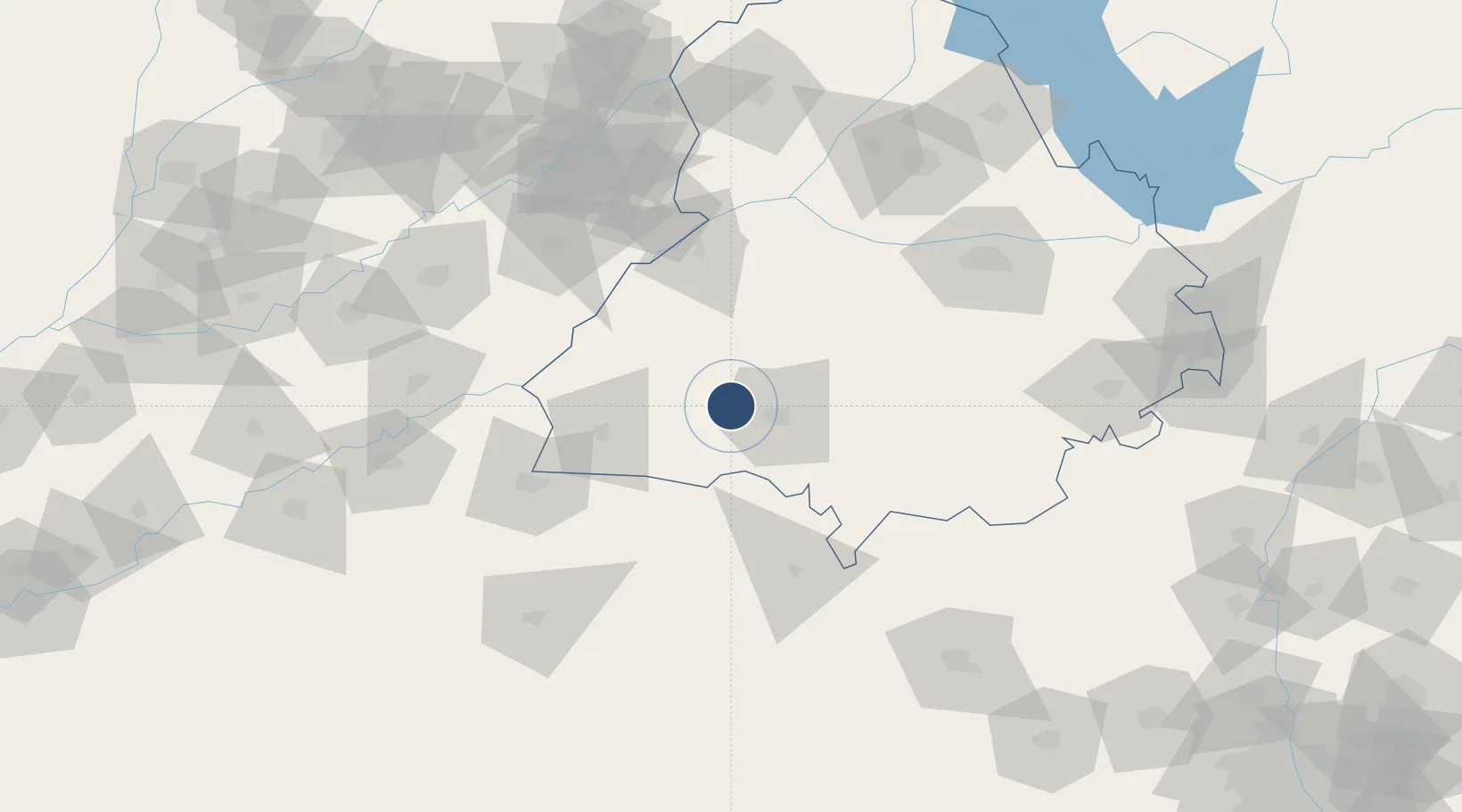
30.2701°, 74.7558°
9,200 ft
Longest runway
1
Runways
662 ft
Elevation

Runway & Layout

Bhatinda Air Force Station runway & taxiway layout
Runway & taxiway layout — OpenStreetMap (ODbL) / OurAirports

Runways · 1

RunwayDimensions SurfaceTrue headingLit
13/31 9,200 × 150ft Asphalt 131°
OurAirports

Airport Specifications

IATA code
BUP
OurAirports
ICAO code
VIBT
OurAirports
Airport class
Medium airport
OurAirports
Scheduled service
No
OurAirports
Runway surface
Asphalt
OurAirports

Location

Location of VIBT
Natural Earth 10m (public domain) · Punjab · VIBT · 30.27, 74.76GoogleOSMYandex

Nearby Logistics Neighbours

Airports
  1. 1Sirsa Air Force Station83 km
  2. 2Halwara International Airport99 km
  3. 3Ludhiana Airport132 km
  4. 4Allama Iqbal International Airport143 km
  5. 5Maharaja Agrasen International Airport154 km
Nearest neighbours — logibook spatial index (haversine) over the source coordinates
Cities
  1. 1Mansa68 km
  2. 2Firozpur73 km
  3. 3Barnala77 km
  4. 4Sunam102 km
  5. 5Hazira111 km
Nearest neighbours — logibook spatial index (haversine) over the source coordinates
Ports
  1. 1Navlakhi919 km
  2. 2Kandla922 km
  3. 3Muhamamad Bin Qasim952 km
  4. 4Bedi976 km
  5. 5Mundra977 km
Nearest neighbours — logibook spatial index (haversine) over the source coordinates
Trade Zones
  1. 1Rachna Industrial Park161 km
  2. 2Quarkcity India Pvt. Ltd.192 km
  3. 3Value Addition City198 km
  4. 4Rajeev Gandhi Technology Park, Phase-2, Chandigarh204 km
  5. 5Rajiv Gandhi Technology Park, Phase-1 Chandigarh204 km
Nearest neighbours — logibook spatial index (haversine) over the source coordinates
DatabookThe Record of Consolidated Knowledge
India beyond logistics?
Browse databook

All Sources

AirportsOurAirports
Public domain
Portsthe NGA World Port Index
Public domain (US gov)
LocationsUN/LOCODE
UN/LOCODE — free
Trade Zonesthe World Bank SEZ database
CC BY 4.0
Trade ZonesOpen Zone Map
CC BY
InfrastructureOpenStreetMap
ODbL 1.0
← India airports