Transport Functions
Port
Hub Profile
Region
MBA
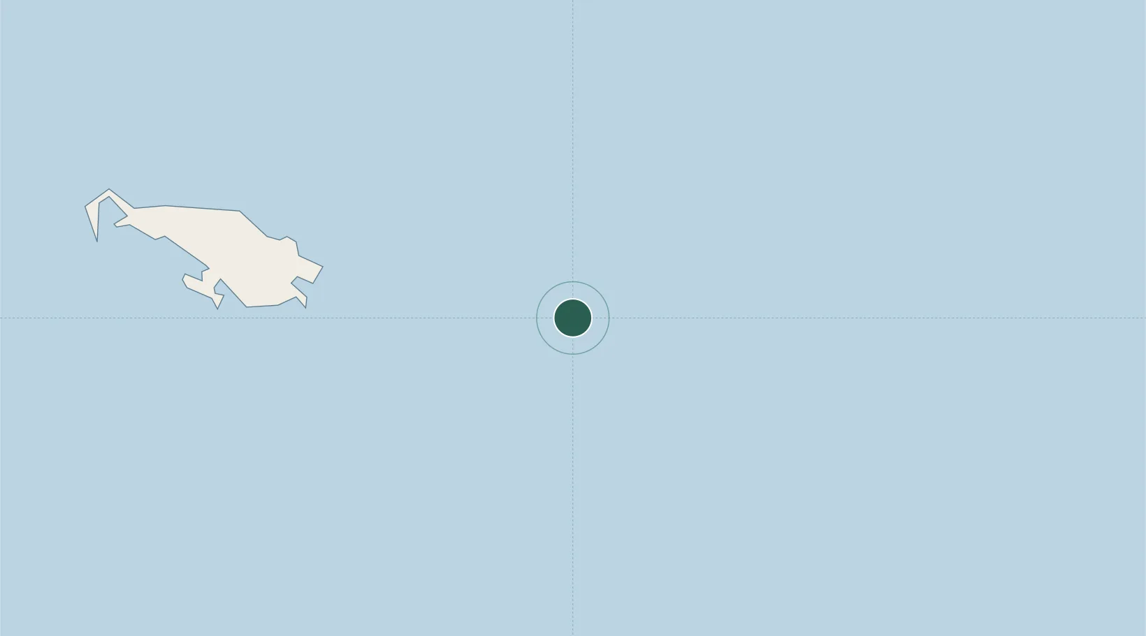
Location
Nearby Logistics Neighbours
Cities
- 1Alcester Island137 km
- 2Gawa Island188 km
- 3Deboyne Lagoon217 km
- 4Conflict Group264 km
- 5Kaibola298 km
Ports
- 1Samarai361 km
- 2Alotoa371 km
- 3Gizo Harbor374 km
- 4Ringgi Cove399 km
- 5Kieta404 km
Airports
- 1Misima Island Airport181 km
- 2Mono Airport294 km
- 3Losuia Airport297 km
- 4Ballalae Airport353 km
- 5Nusatupe Airport375 km
DatabookThe Record of Consolidated Knowledge
Papua New Guinea beyond logistics?