Transport Functions
Rail
Road
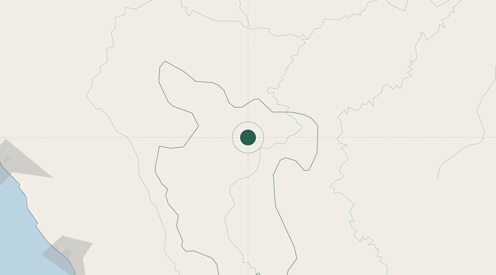
Hub Profile
Place type
District seat
Region
San Martín Department
Time zone
America/Lima
Elevation
279 m
Location
Nearby Logistics Neighbours
Cities
- 1Lagunas165 km
- 2Conchán243 km
- 3San Ignacio317 km
- 4Virú332 km
- 5Salaverry339 km
Ports
- 1Salaverry340 km
- 2Puerto De Chimbote375 km
- 3Pimentel385 km
- 4Punta Lobitos (Bahia De Huarmey)445 km
- 5Iquitos469 km
Airports
Trade Zones
DatabookThe Record of Consolidated Knowledge
Peru beyond logistics?