Medium airport · Peru
Moises Benzaquen Rengifo AirportSPMS
-5.8938°, -76.1182°
5,912 ft
Longest runway
1
Runways
587 ft
Elevation
Runway & Layout

Radio Frequencies
RDO
118.1 MHz
YURIMAGUAS RDO
Navaids
YMR VOR Yurimaguas 113.70 MHz
YMS NDB Yurimaguas 340 kHz
Runways · 1
| Runway | Dimensions | Surface | True heading | Lit |
|---|---|---|---|---|
| 09/27 | 5,912 × 98ft | Asphalt | 094° | ✓ |
Airport Specifications
IATA code
YMS
ICAO code
SPMS
Airport class
Medium airport
Scheduled service
Yes
Runway surface
Asphalt
Served city
Yurimaguas
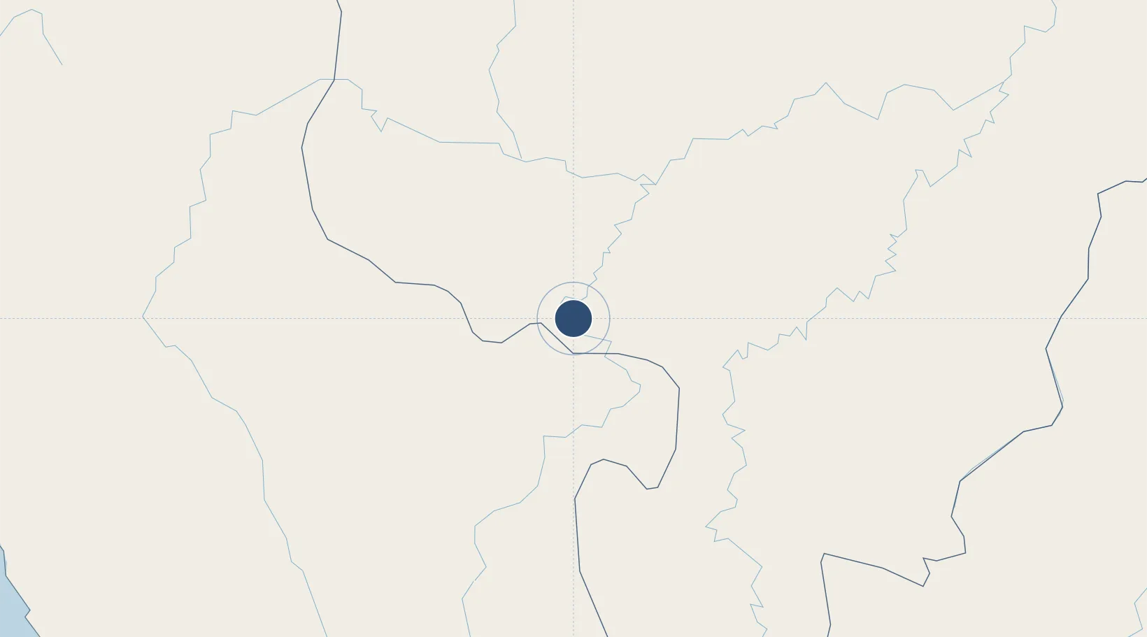
Location
Nearby Logistics Neighbours
Airports
- 1Cadete FAP Guillermo Del Castillo Paredes Airport74 km
- 2Juan Simons Vela Airport117 km
- 3Juanjui Airport157 km
- 4Chachapoyas Airport195 km
- 5Shumba Airport296 km
Cities
- 1Morales74 km
- 2Lagunas90 km
- 3Conchán288 km
- 4San Ignacio330 km
- 5Morona377 km
Ports
- 1Iquitos399 km
- 2Salaverry409 km
- 3Pimentel434 km
- 4Puerto De Chimbote449 km
- 5Punta Lobitos (Bahia De Huarmey)519 km
Trade Zones
DatabookThe Record of Consolidated Knowledge
Peru beyond logistics?