Free Trade Zone · Peru
Zona Especial de Desarrollo Paita (Special Development Zone of Paita) Active
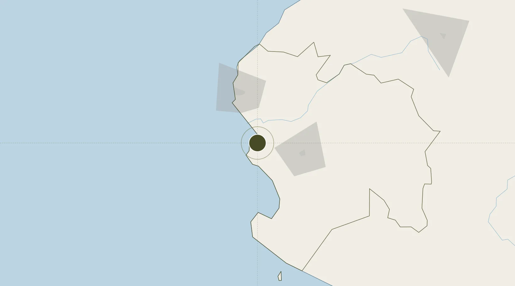
-5.0850°, -81.0817°
20 ha
Zone area
3.9 km
Nearest port
53.2 km
Nearest airport
Gateway access
Zone profile
Zone type
Free Trade Zone
Region
Piura
Status
Active
Management
Public
Operator
ZED PAITA (Zona Especial de Desarrollo Paita)
Legal framework
Peruvian Congress Decree Nº 864
Location
Nearby Logistics Neighbours
Ports
- 1Paita4 km
- 2Talara60 km
- 3Caleta Lobitos74 km
- 4Puerto Bayovar83 km
- 5Puerto Cabo Blanco94 km
Airports
Cities
- 1Paita1 km
- 2Bayovar85 km
- 3Los Organos100 km
- 4Olmos180 km
- 5San Ignacio231 km
Trade Zones
- 1Zona Franca del Oro238 km
- 2Posorja ZofraPort SA Free Zone281 km
- 3DP World Posorja281 km
- 4Contecon Guayaquil Free Zone338 km
- 5Zona Franca Esmeraldas349 km
DatabookThe Record of Consolidated Knowledge
Peru beyond logistics?