Free Trade Zone · Ecuador
DP World Posorja Under Development
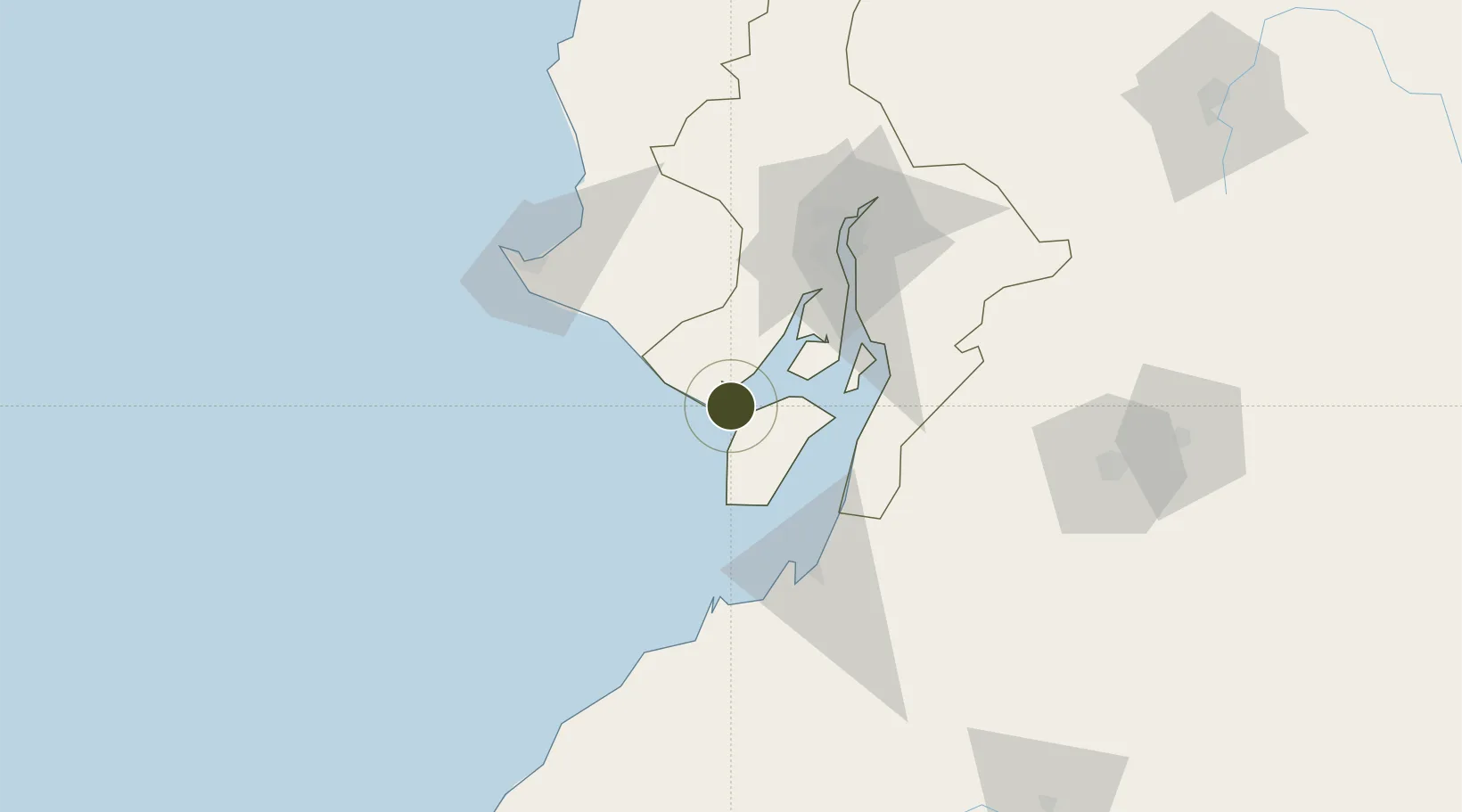
-2.6937°, -80.2506°
100 ha
Zone area
60.0 km
Nearest port
72.2 km
Nearest airport
Gateway access
Zone profile
Zone type
Free Trade Zone
Region
Guayas
Status
Under Development
Management
Public-Private Partnership
Operator
DP World Posorja S.A
Legal framework
Free Trade Zone ("FTZ") law in 1991
Location
Nearby Logistics Neighbours
Ports
- 1Puerto Maritimo De Guayaquil60 km
- 2Guayaquil68 km
- 3Puerto Bolivar70 km
- 4La Libertad91 km
- 5Manta201 km
Airports
Cities
- 1Posorja1 km
- 2Playas16 km
- 3Puná37 km
- 4Puerto Balao Grande52 km
- 5Zapotal52 km
Trade Zones
- 1Posorja ZofraPort SA Free Zone0 km
- 2Contecon Guayaquil Free Zone60 km
- 3Zona Franca Esmeraldas69 km
- 4Zona Franca del Oro77 km
- 5Zona Franca Manabí195 km
DatabookThe Record of Consolidated Knowledge
Ecuador beyond logistics?