Medium airport · Peru
Juanjui AirportSPJI
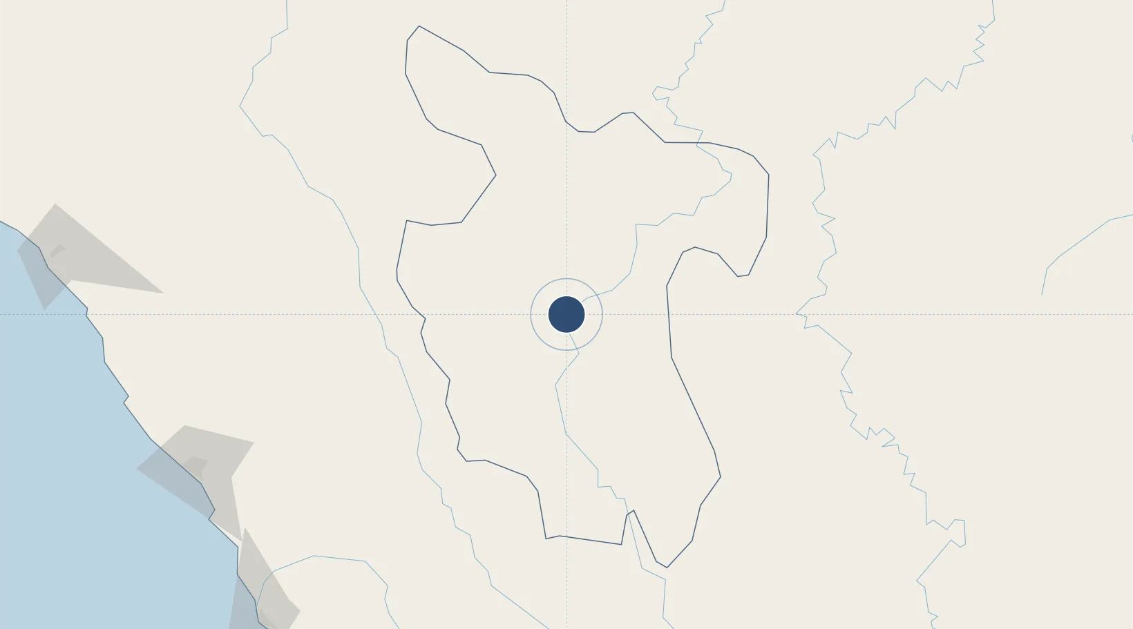
-7.1691°, -76.7286°
6,562 ft
Longest runway
1
Runways
1,148 ft
Elevation
Runway & Layout

Radio Frequencies
RDO
118.1 MHz
Navaids
UAN NDB Juanjui 290 kHz
Runways · 1
| Runway | Dimensions | Surface | True heading | Lit |
|---|---|---|---|---|
| 03/21 | 6,562 × 98ft | Asphalt | 034° | — |
Airport Specifications
IATA code
JJI
ICAO code
SPJI
Airport class
Medium airport
Scheduled service
No
Runway surface
Asphalt
Served city
Juanjuí
Location
Nearby Logistics Neighbours
Airports
Ports
- 1Salaverry275 km
- 2Puerto De Chimbote298 km
- 3Pimentel356 km
- 4Punta Lobitos (Bahia De Huarmey)362 km
- 5Puerto Supe419 km
Trade Zones
DatabookThe Record of Consolidated Knowledge
Peru beyond logistics?