Transport Functions
Port
Road
Multimodal
Hub Profile
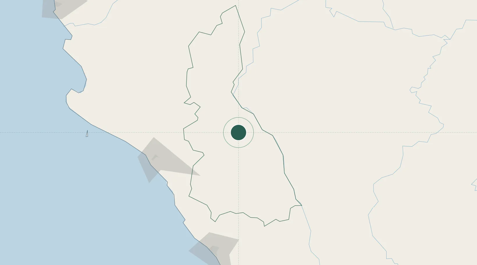
Place type
District seat
Region
Cajamarca Department
Population
419
Time zone
America/Lima
Elevation
2,300 m
Location
Nearby Logistics Neighbours
Cities
- 1Chepen124 km
- 2Olmos127 km
- 3San Ignacio147 km
- 4Salaverry204 km
- 5Virú223 km
Ports
- 1Pimentel147 km
- 2Salaverry205 km
- 3Puerto Bayovar271 km
- 4Puerto De Chimbote297 km
- 5Paita309 km
Airports
Trade Zones
DatabookThe Record of Consolidated Knowledge
Peru beyond logistics?