Medium airport · Peru

Cadete FAP Guillermo Del Castillo Paredes AirportSPST
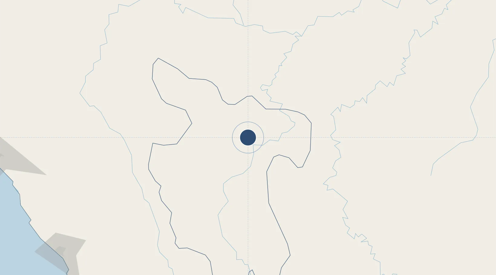
-6.5087°, -76.3732°
8,530 ft
Longest runway
1
Runways
869 ft
Elevation

Runway & Layout

Cadete FAP Guillermo Del Castillo Paredes Airport runway & taxiway layout
Runway & taxiway layout — OpenStreetMap (ODbL) / OurAirports

Radio Frequencies

TWR
118.4 MHz
TARAPOTO TWR
APP
118.4 MHz
TARAPOTO APP/TWR
RDO
126.9 MHz
TARAPOTO RDO
OurAirports

Navaids

TAP VOR-DME Tarapoto 115.50 MHz
OurAirports

Runways · 1

RunwayDimensions SurfaceTrue headingLit
17/35 8,530 × 148ft Asphalt 171°
OurAirports

Airport Specifications

IATA code
TPP
OurAirports
ICAO code
SPST
OurAirports
Airport class
Medium airport
OurAirports
Scheduled service
Yes
OurAirports
Runway surface
Asphalt
OurAirports
Served city
Tarapoto
OurAirports

Location

Location of SPST
Natural Earth 10m (public domain) · San Martín · SPST · -6.51, -76.37GoogleOSMYandex

Nearby Logistics Neighbours

Airports
  1. 1Moises Benzaquen Rengifo Airport74 km
  2. 2Juanjui Airport83 km
  3. 3Juan Simons Vela Airport100 km
  4. 4Chachapoyas Airport167 km
  5. 5Mayor General FAP Armando Revoredo Iglesias Airport244 km
Nearest neighbours — logibook spatial index (haversine) over the source coordinates
Cities
  1. 1Morales11 km
  2. 2Lagunas164 km
  3. 3Conchán254 km
  4. 4San Ignacio328 km
  5. 5Virú337 km
Nearest neighbours — logibook spatial index (haversine) over the source coordinates
Ports
  1. 1Salaverry346 km
  2. 2Puerto De Chimbote378 km
  3. 3Pimentel395 km
  4. 4Punta Lobitos (Bahia De Huarmey)445 km
  5. 5Iquitos464 km
Nearest neighbours — logibook spatial index (haversine) over the source coordinates
Trade Zones
  1. 1Zona Franca del Oro530 km
  2. 2Zona Especial de Desarrollo Paita (Special Development Zone of Paita)544 km
  3. 3Posorja ZofraPort SA Free Zone604 km
  4. 4DP World Posorja604 km
  5. 5Contecon Guayaquil Free Zone612 km
Nearest neighbours — logibook spatial index (haversine) over the source coordinates
DatabookThe Record of Consolidated Knowledge
Peru beyond logistics?
Browse databook

All Sources

AirportsOurAirports
Public domain
Portsthe NGA World Port Index
Public domain (US gov)
LocationsUN/LOCODE
UN/LOCODE — free
Trade Zonesthe World Bank SEZ database
CC BY 4.0
Trade ZonesOpen Zone Map
CC BY
InfrastructureOpenStreetMap
ODbL 1.0
← Peru airports