Transport Functions
Port
Hub Profile
Place type
District seat
Region
Loreto
Population
9,197
Time zone
America/Lima
Elevation
124 m
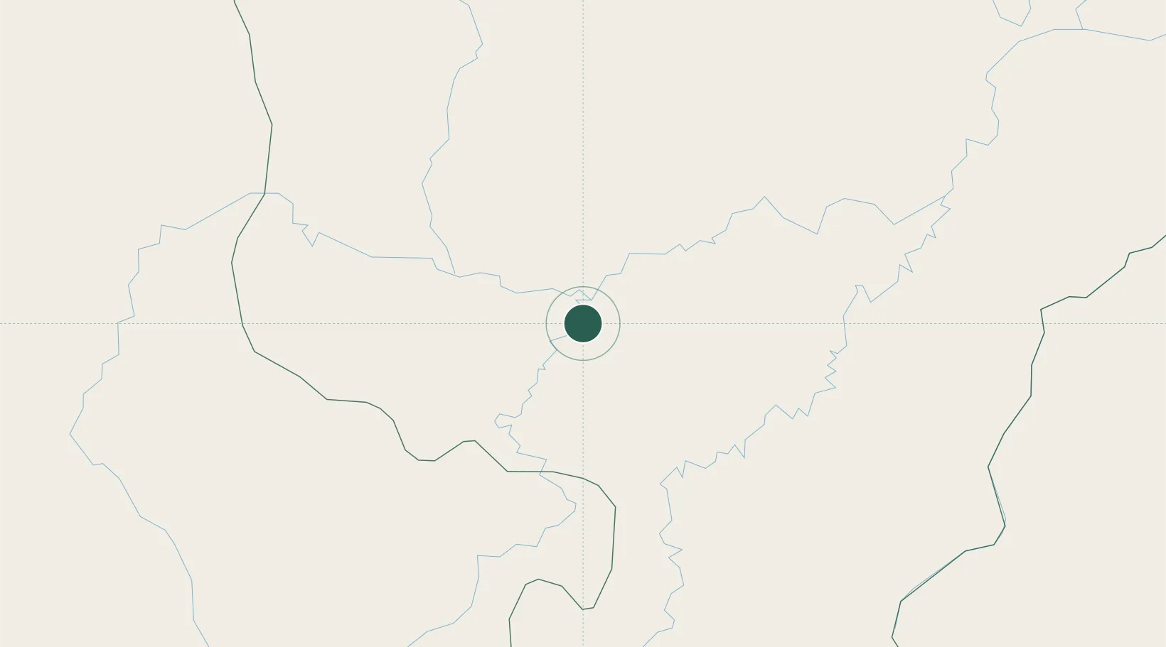
Location
Nearby Logistics Neighbours
Cities
- 1Morales165 km
- 2Morona343 km
- 3Conchán358 km
- 4San Ignacio369 km
- 5Cruzeiro do Sul426 km
Ports
- 1Iquitos315 km
- 2Salaverry497 km
- 3Pimentel505 km
- 4Puerto Bolivar527 km
- 5Puerto De Chimbote539 km
Airports
Trade Zones
- 1Zona Franca del Oro517 km
- 2Contecon Guayaquil Free Zone572 km
- 3Posorja ZofraPort SA Free Zone581 km
- 4DP World Posorja581 km
- 5Zona Franca Esmeraldas582 km
DatabookThe Record of Consolidated Knowledge
Peru beyond logistics?