Transport Functions
Multimodal
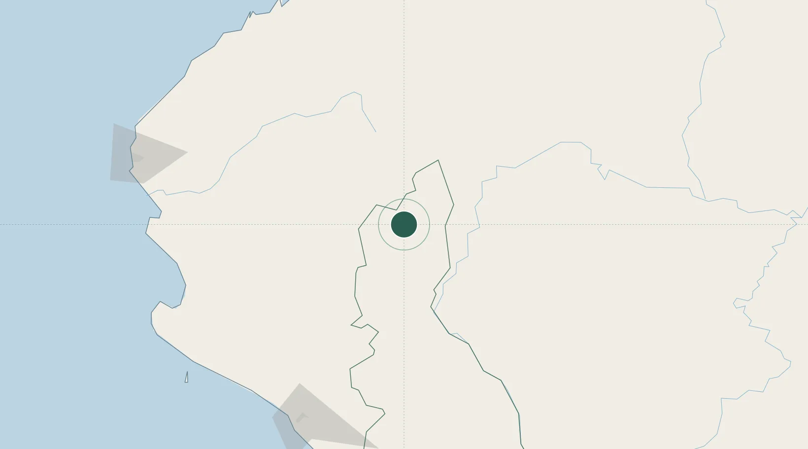
Hub Profile
Place type
District seat
Region
Cajamarca Department
Population
7,912
Time zone
America/Lima
Elevation
1,271 m
Location
Nearby Logistics Neighbours
Cities
- 1Olmos125 km
- 2Conchán147 km
- 3Paita231 km
- 4Puerto Bolívar234 km
- 5Chepen237 km
Ports
- 1Pimentel215 km
- 2Paita235 km
- 3Puerto Bolivar235 km
- 4Puerto Bayovar240 km
- 5Talara260 km
Airports
Trade Zones
DatabookThe Record of Consolidated Knowledge
Peru beyond logistics?