Medium airport · Peru

Juan Simons Vela AirportSPJA
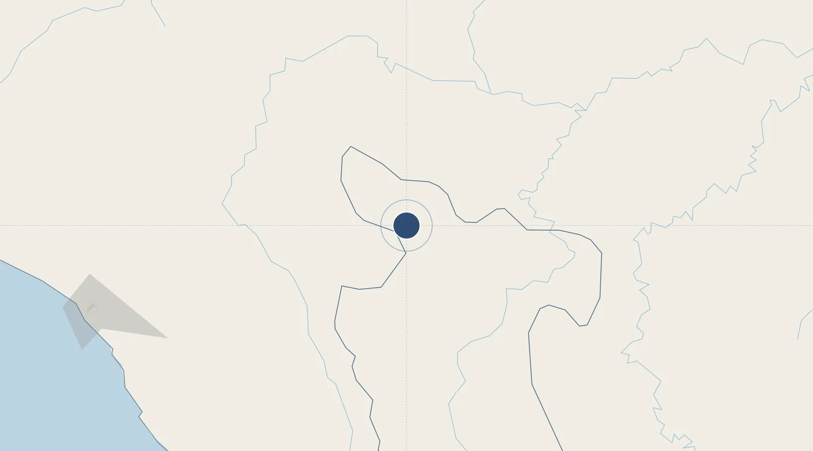
-6.0679°, -77.1600°
6,168 ft
Longest runway
1
Runways
2,707 ft
Elevation

Runway & Layout

Juan Simons Vela Airport runway & taxiway layout
Runway & taxiway layout — OpenStreetMap (ODbL) / OurAirports

Radio Frequencies

AFIS
118.3 MHz
RIOJA RDO
OurAirports

Navaids

RIO NDB Rioja 201 kHz
OurAirports

Runways · 1

RunwayDimensions SurfaceTrue headingLit
16/34 6,168 × 98ft Asphalt 166°
OurAirports

Airport Specifications

IATA code
RIJ
OurAirports
ICAO code
SPJA
OurAirports
Airport class
Medium airport
OurAirports
Scheduled service
No
OurAirports
Runway surface
Asphalt
OurAirports
Served city
Rioja
OurAirports

Location

Location of SPJA
Natural Earth 10m (public domain) · San Martín · SPJA · -6.07, -77.16GoogleOSMYandex

Nearby Logistics Neighbours

Airports
  1. 1Chachapoyas Airport78 km
  2. 2Cadete FAP Guillermo Del Castillo Paredes Airport100 km
  3. 3Moises Benzaquen Rengifo Airport117 km
  4. 4Juanjui Airport131 km
  5. 5Shumba Airport186 km
Nearest neighbours — logibook spatial index (haversine) over the source coordinates
Cities
  1. 1Morales89 km
  2. 2Conchán171 km
  3. 3Lagunas190 km
  4. 4San Ignacio229 km
  5. 5Chepen283 km
Nearest neighbours — logibook spatial index (haversine) over the source coordinates
Ports
  1. 1Salaverry314 km
  2. 2Pimentel318 km
  3. 3Puerto De Chimbote372 km
  4. 4Puerto Bayovar431 km
  5. 5Puerto Bolivar443 km
Nearest neighbours — logibook spatial index (haversine) over the source coordinates
Trade Zones
  1. 1Zona Franca del Oro434 km
  2. 2Zona Especial de Desarrollo Paita (Special Development Zone of Paita)448 km
  3. 3Posorja ZofraPort SA Free Zone508 km
  4. 4DP World Posorja508 km
  5. 5Contecon Guayaquil Free Zone520 km
Nearest neighbours — logibook spatial index (haversine) over the source coordinates
DatabookThe Record of Consolidated Knowledge
Peru beyond logistics?
Browse databook

All Sources

AirportsOurAirports
Public domain
Portsthe NGA World Port Index
Public domain (US gov)
LocationsUN/LOCODE
UN/LOCODE — free
Trade Zonesthe World Bank SEZ database
CC BY 4.0
Trade ZonesOpen Zone Map
CC BY
InfrastructureOpenStreetMap
ODbL 1.0
← Peru airports