Channel & Berth Profile
Pilotage, Tugs & Services
Pilotage compulsoryNO
Pilotage availableNO
Local assistanceYES
Tug assistanceYES
Shore powerNO
MedicalNO
Garbage disposalNO
Facilities & Capabilities
Container—
Ro-Ro—
Liquid bulk—
Dry bulk—
Oil terminal—
Break bulk—
Dry dock—
Repairs—
Bunkering—
Rail link—
Dangerous cargo—
ISPS security—
Harbour Specifications
Harbour size
Very Small
Harbour type
Open Roadstead
Shelter
Fair
Water body
South Pacific Ocean
Tidal range
1 m
Pilotage
No
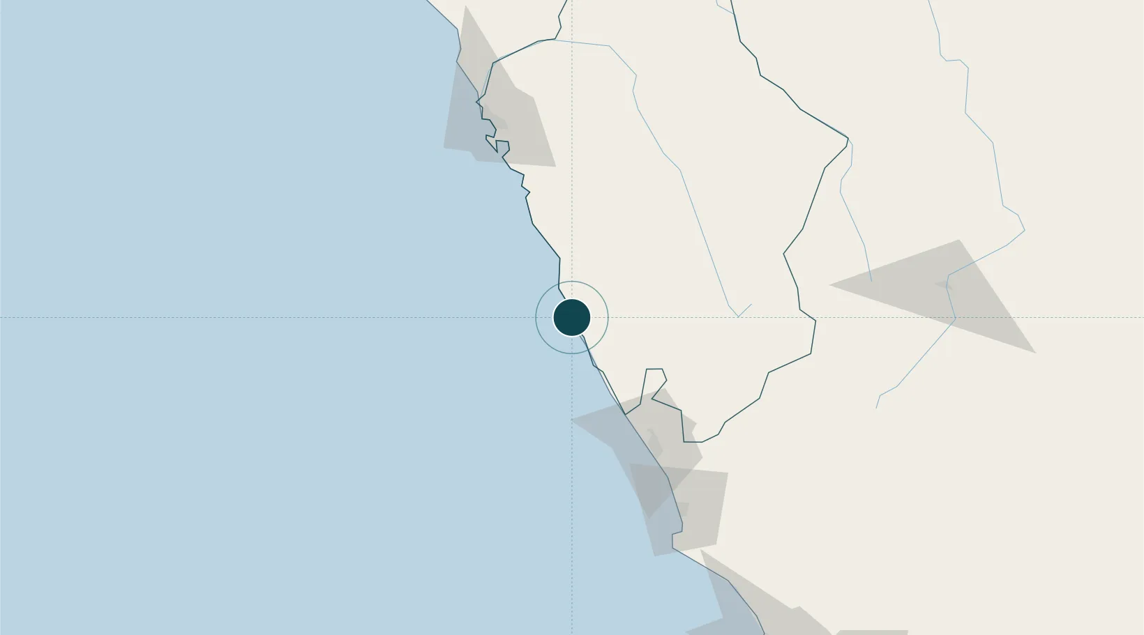
Location
Nearby Logistics Neighbours
Ports
- 1Puerto Supe90 km
- 2Puerto De Chimbote123 km
- 3Puerto De Huacho128 km
- 4Chancay193 km
- 5Bahia De Ancon213 km
Airports
Trade Zones
DatabookThe Record of Consolidated Knowledge
Peru beyond logistics?