Medium airport · Peru

Chachapoyas AirportSPPY
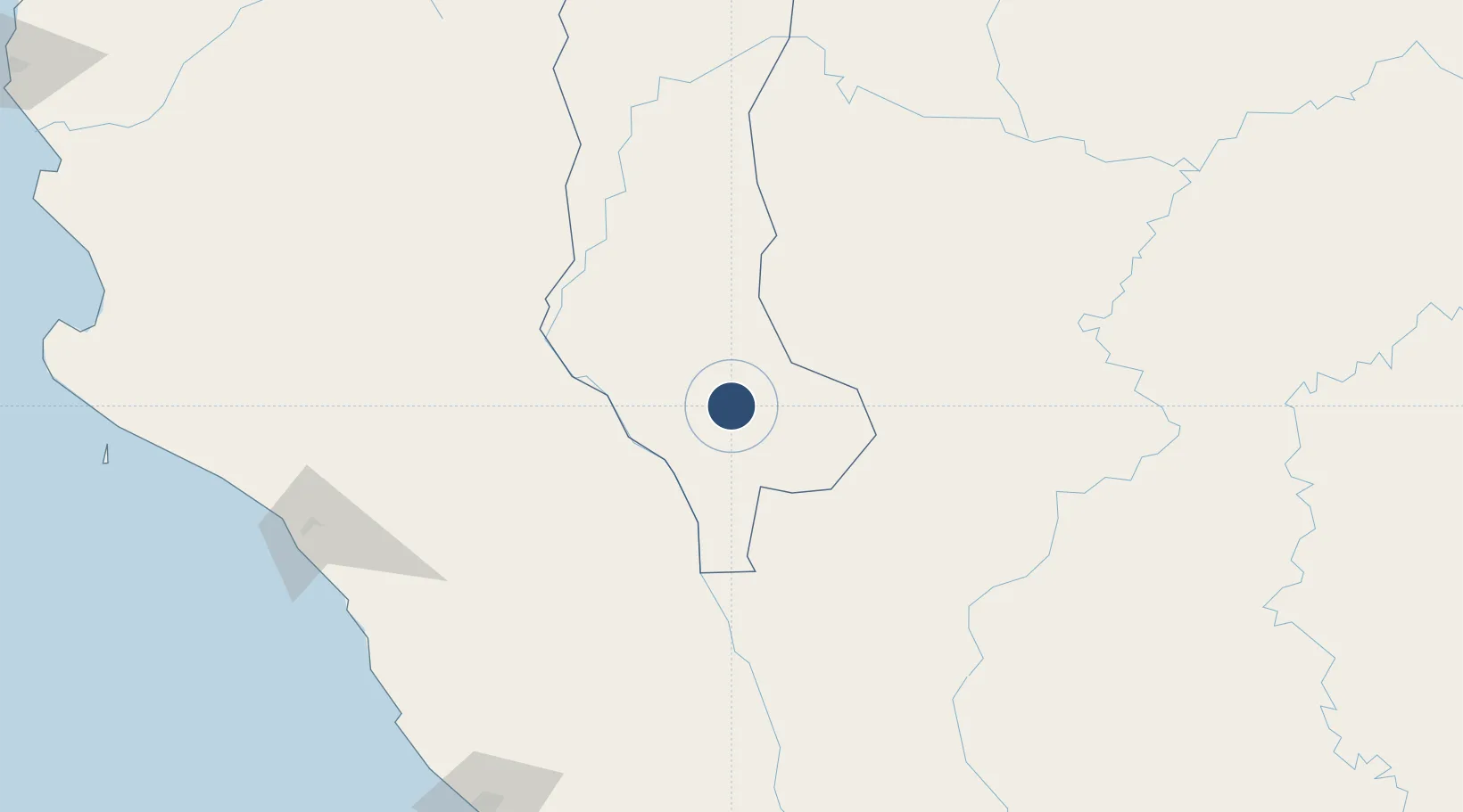
-6.2019°, -77.8562°
6,496 ft
Longest runway
1
Runways
8,333 ft
Elevation

Runway & Layout

Chachapoyas Airport runway & taxiway layout
Runway & taxiway layout — OpenStreetMap (ODbL) / OurAirports

Radio Frequencies

RDO
126.9 MHz
OurAirports

Navaids

POY VOR-DME Chachapoyas 115.10 MHz
OurAirports

Runways · 1

RunwayDimensions SurfaceTrue headingLit
13/31 6,496 × 98ft Asphalt 132°
OurAirports

Airport Specifications

IATA code
CHH
OurAirports
ICAO code
SPPY
OurAirports
Airport class
Medium airport
OurAirports
Scheduled service
Yes
OurAirports
Runway surface
Asphalt
OurAirports
Served city
Chachapoyas
OurAirports

Location

Location of SPPY
Natural Earth 10m (public domain) · Amazonas · SPPY · -6.20, -77.86GoogleOSMYandex

Nearby Logistics Neighbours

Airports
  1. 1Juan Simons Vela Airport78 km
  2. 2Shumba Airport122 km
  3. 3Mayor General FAP Armando Revoredo Iglesias Airport126 km
  4. 4Juanjui Airport165 km
  5. 5Cadete FAP Guillermo Del Castillo Paredes Airport167 km
Nearest neighbours — logibook spatial index (haversine) over the source coordinates
Cities
  1. 1Conchán93 km
  2. 2Morales156 km
  3. 3San Ignacio174 km
  4. 4Olmos209 km
  5. 5Chepen209 km
Nearest neighbours — logibook spatial index (haversine) over the source coordinates
Ports
  1. 1Pimentel240 km
  2. 2Salaverry258 km
  3. 3Puerto De Chimbote331 km
  4. 4Puerto Bayovar356 km
  5. 5Paita382 km
Nearest neighbours — logibook spatial index (haversine) over the source coordinates
Trade Zones
  1. 1Zona Especial de Desarrollo Paita (Special Development Zone of Paita)378 km
  2. 2Zona Franca del Oro395 km
  3. 3Posorja ZofraPort SA Free Zone471 km
  4. 4DP World Posorja472 km
  5. 5Contecon Guayaquil Free Zone492 km
Nearest neighbours — logibook spatial index (haversine) over the source coordinates
DatabookThe Record of Consolidated Knowledge
Peru beyond logistics?
Browse databook

All Sources

AirportsOurAirports
Public domain
Portsthe NGA World Port Index
Public domain (US gov)
LocationsUN/LOCODE
UN/LOCODE — free
Trade Zonesthe World Bank SEZ database
CC BY 4.0
Trade ZonesOpen Zone Map
CC BY
InfrastructureOpenStreetMap
ODbL 1.0
← Peru airports