Channel & Berth Profile
Pilotage, Tugs & Services
Pilotage compulsoryYES
Pilotage availableYES
Pilotage advisableYES
Local assistanceYES
Tug assistanceYES
Shore powerNO
Potable waterYES
Diesel bunkersYES
MedicalYES
Garbage disposalNO
Facilities & Capabilities
Container—
Ro-Ro—
Liquid bulk—
Dry bulk—
Oil terminalYES
Break bulkYES
Dry dock—
RepairsNO
BunkeringYES
Rail link—
Dangerous cargo—
ISPS security—
Harbour Specifications
Harbour size
Very Small
Harbour type
Coastal (Breakwater)
Shelter
Poor
Water body
South Pacific Ocean
Tidal range
3 m
Overhead limit
No
Pilotage
Yes
Liner Connectivity
18.1
PLSCI
Port Liner Shipping Connectivity Index for Salaverry, as published by UNCTAD for the latest available quarter. Higher values indicate stronger scheduled liner-shipping integration.
Shown relative to the highest per-port PLSCI in the dataset (1,657.9).
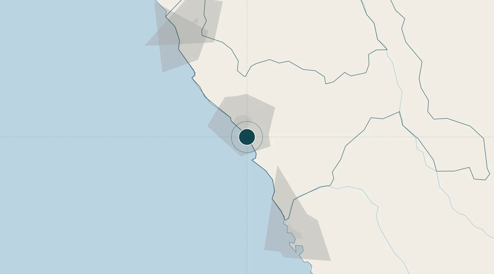
Location
Nearby Logistics Neighbours
Ports
- 1Puerto De Chimbote103 km
- 2Pimentel188 km
- 3Punta Lobitos (Bahia De Huarmey)226 km
- 4Puerto Supe316 km
- 5Puerto Bayovar351 km
Airports
- 1Capitán FAP Carlos Martínez de Pinillos International Airport22 km
- 2FAP Lieutenant Jaime Andres de Montreuil Morales Airport114 km
- 3Mayor General FAP Armando Revoredo Iglesias Airport133 km
- 4Capitán FAP José A. Quiñones González International Airport186 km
- 5Comandante FAP German Arias Graziani Airport196 km
Trade Zones
DatabookThe Record of Consolidated Knowledge
Peru beyond logistics?