Transport Functions
Port
Hub Profile
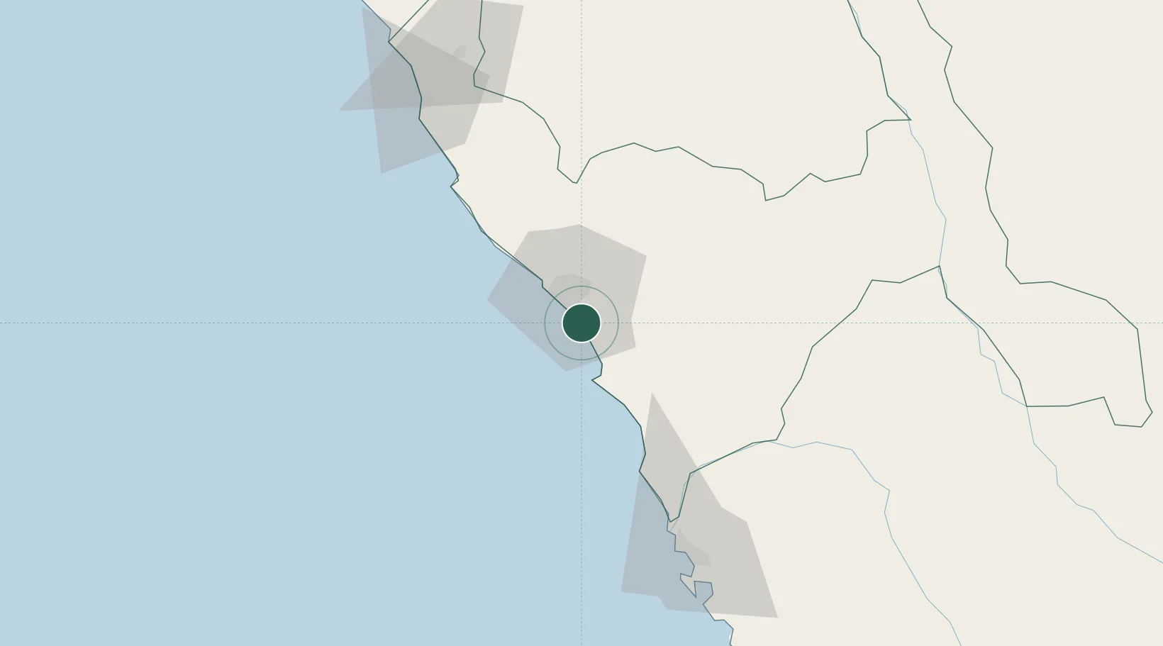
Place type
District seat
Region
La Libertad
Population
10,066
Time zone
America/Lima
Elevation
8 m
Logistics facilities
2
Location
Nearby Logistics Neighbours
Ports
- 1Puerto De Chimbote104 km
- 2Pimentel187 km
- 3Punta Lobitos (Bahia De Huarmey)227 km
- 4Puerto Supe317 km
- 5Puerto Bayovar351 km
Airports
- 1Capitán FAP Carlos Martínez de Pinillos International Airport21 km
- 2FAP Lieutenant Jaime Andres de Montreuil Morales Airport115 km
- 3Mayor General FAP Armando Revoredo Iglesias Airport132 km
- 4Capitán FAP José A. Quiñones González International Airport185 km
- 5Comandante FAP German Arias Graziani Airport197 km
Trade Zones
DatabookThe Record of Consolidated Knowledge
Peru beyond logistics?