Transport Functions
Multimodal
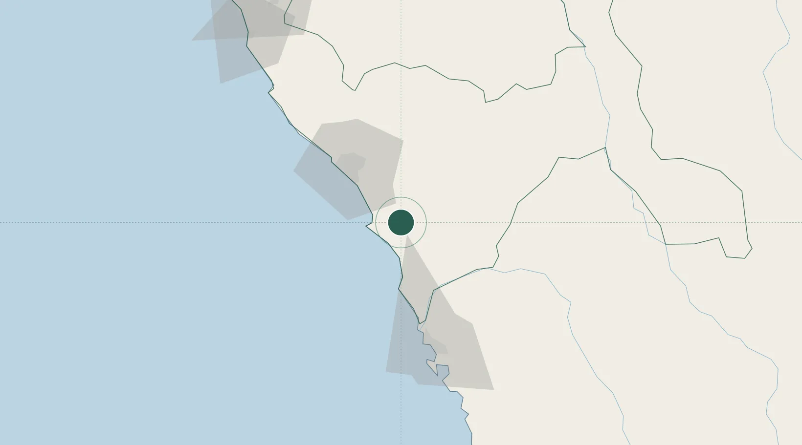
Hub Profile
Place type
Populated place
Region
La Libertad
Population
20,774
Time zone
America/Lima
Elevation
75 m
Location
Nearby Logistics Neighbours
Cities
- 1Trujillo23 km
- 2Salaverry33 km
- 3Chimbote74 km
- 4Chepen154 km
- 5Punta Lobitos196 km
Ports
- 1Salaverry33 km
- 2Puerto De Chimbote76 km
- 3Punta Lobitos (Bahia De Huarmey)198 km
- 4Pimentel219 km
- 5Puerto Supe287 km
Airports
- 1Capitán FAP Carlos Martínez de Pinillos International Airport54 km
- 2FAP Lieutenant Jaime Andres de Montreuil Morales Airport85 km
- 3Mayor General FAP Armando Revoredo Iglesias Airport145 km
- 4Comandante FAP German Arias Graziani Airport164 km
- 5Capitán FAP José A. Quiñones González International Airport217 km
Trade Zones
DatabookThe Record of Consolidated Knowledge
Peru beyond logistics?