Free Trade Zone · Ecuador

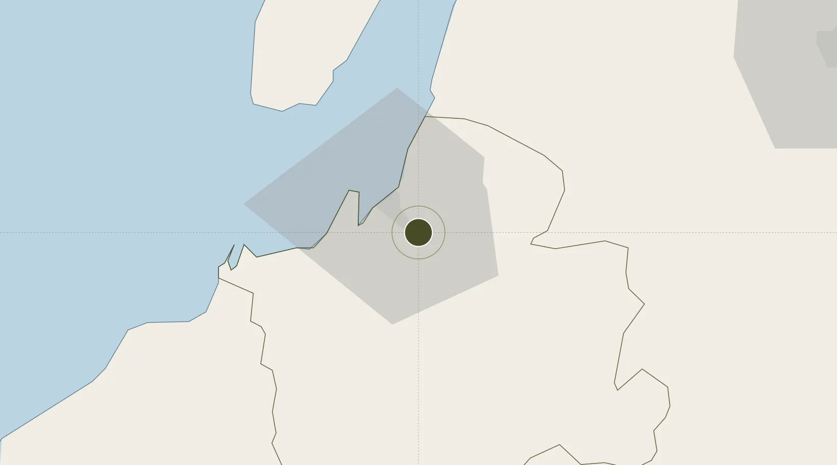
Zona Franca del Oro Inactive

-3.2950°, -79.9101°
10.5 km
Nearest port
19.0 km
Nearest airport

Gateway access

Nearest neighbours — logibook spatial index (haversine) over the source coordinates

Zone profile

Zone type
Free Trade Zone
Open Zone Map
Region
El Oro
Open Zone Map
Status
Inactive
Open Zone Map
Management
Private
Open Zone Map
Operator
Zofraoro, SA
Open Zone Map
Legal framework
Codification 2005 – 004, R.O. %23 562 April 11 2002; Free Trade Zone ("FTZ") law in 1991
Open Zone Map

Location

Location of ozm-1848
Natural Earth 10m (public domain) · El Oro · ozm-1848 · -3.30, -79.91GoogleOSMYandex

Nearby Logistics Neighbours

Ports
  1. 1Puerto Bolivar11 km
  2. 2Puerto Maritimo De Guayaquil113 km
  3. 3Guayaquil122 km
  4. 4La Libertad164 km
  5. 5Puerto Cabo Blanco181 km
Nearest neighbours — logibook spatial index (haversine) over the source coordinates
Cities
  1. 1Puerto Bolívar7 km
  2. 2Puerto Balao Grande45 km
  3. 3Puná63 km
  4. 4Bucay73 km
  5. 5El Guabo75 km
Nearest neighbours — logibook spatial index (haversine) over the source coordinates
Trade Zones
  1. 1Posorja ZofraPort SA Free Zone76 km
  2. 2DP World Posorja77 km
  3. 3Contecon Guayaquil Free Zone113 km
  4. 4Zona Franca Esmeraldas126 km
  5. 5Zona Especial de Desarrollo Paita (Special Development Zone of Paita)238 km
Nearest neighbours — logibook spatial index (haversine) over the source coordinates
DatabookThe Record of Consolidated Knowledge
Ecuador beyond logistics?
Browse databook

All Sources

Trade ZonesOpen Zone Map
CC BY
Portsthe NGA World Port Index
Public domain (US gov)
AirportsOurAirports
Public domain
LocationsUN/LOCODE
UN/LOCODE — free
← Ecuador trade zones