Transport Functions
Multimodal
Hub Profile
Place type
Populated place
Region
Auckland
Population
1,870
Time zone
Pacific/Auckland
Elevation
14 m
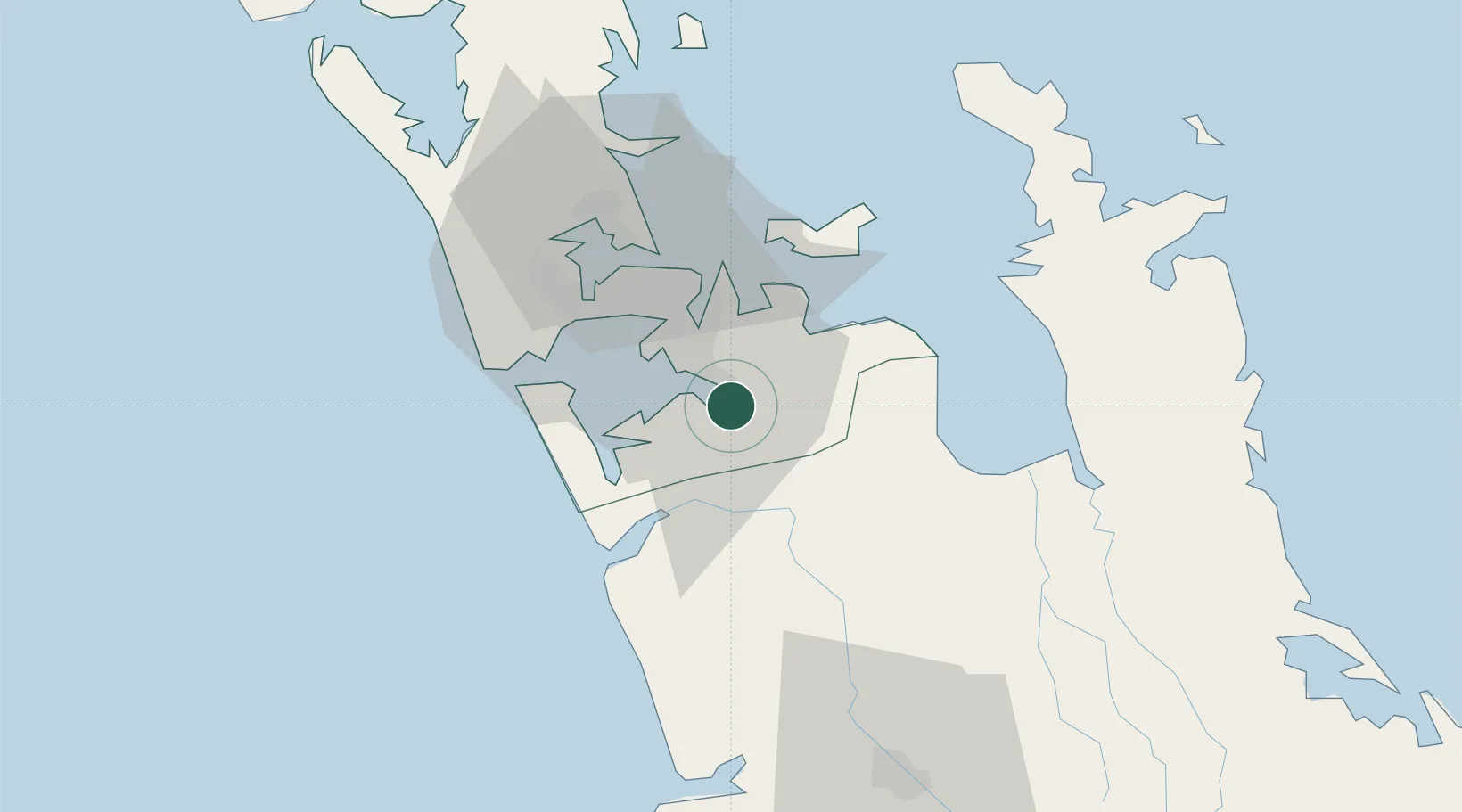
Location
Nearby Logistics Neighbours
Cities
- 1Papakura2 km
- 2Auckland21 km
- 3Metroport/Auckland24 km
- 4Tamaki25 km
- 5Onehunga (Manukau Harbour)28 km
Ports
- 1Manukau Harbor24 km
- 2Auckland32 km
- 3Tauranga123 km
- 4Whangarei152 km
- 5Opua212 km
Airports
Trade Zones
- 1Hicks Bay Area Special Economic Zone287 km
- 2Rotuma-Kadavu Tax-Free Region2135 km
- 3Kalabu Tax Free Zone2142 km
- 4Nausori-Ba Tax-Free Region2149 km
- 5Lautoka Special Zone2180 km
DatabookThe Record of Consolidated Knowledge
New Zealand beyond logistics?