Large airport · New Zealand
Auckland International AirportNZAA
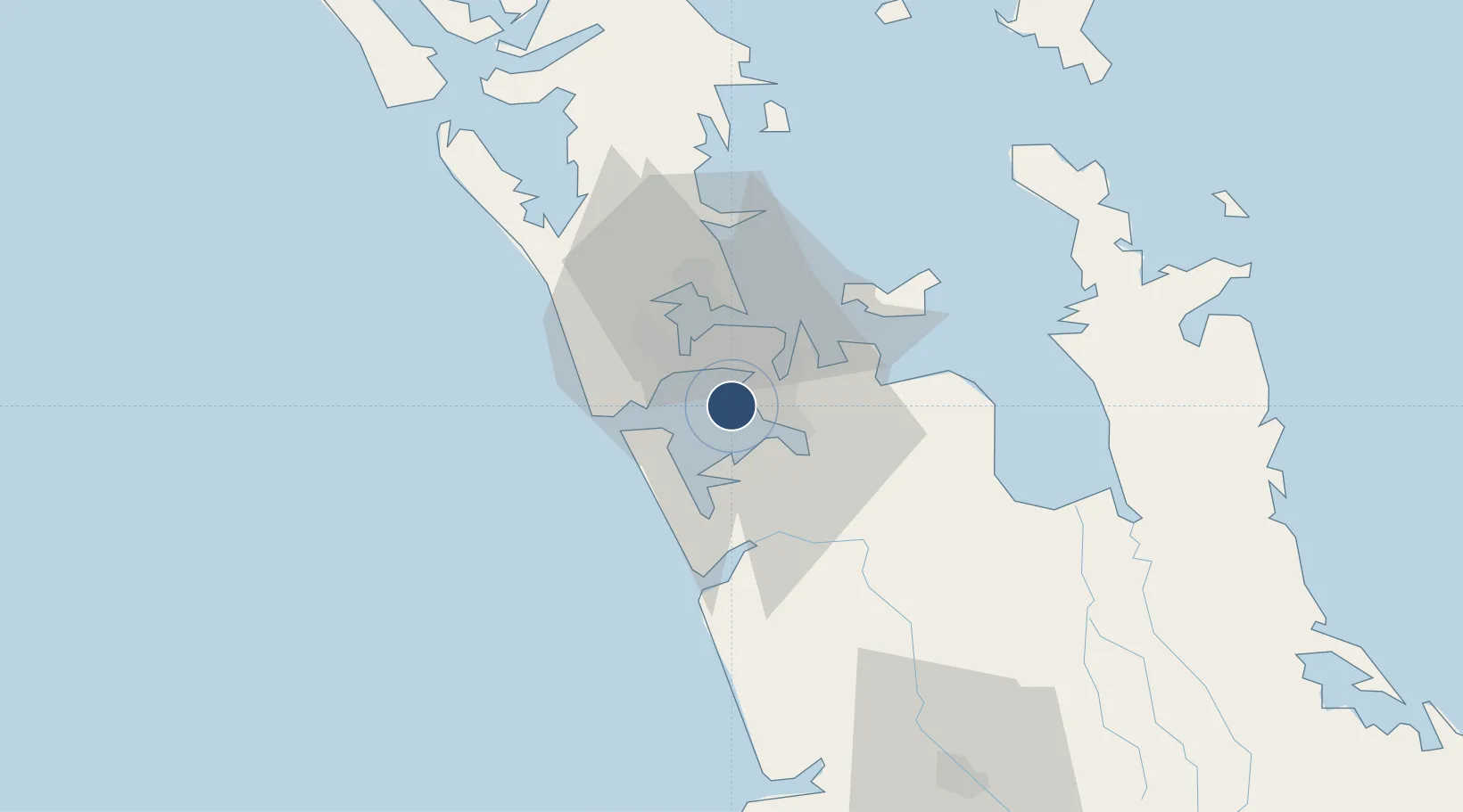
-37.0120°, 174.7863°
11,926 ft
Longest runway
1
Runways
23 ft
Elevation
Runway & Layout

Radio Frequencies
ATIS
127.8 MHz
TWR
118.7 MHz
GND
121.9 MHz
CLD
128.2 MHz
CLNC DEL
APP
124.3 MHz
Navaids
AA VOR-DME Auckland 114.80 MHz
HD NDB Whitford 334 kHz
OT NDB Westpoint 398 kHz
Runways · 1
| Runway | Dimensions | Surface | True heading | Lit |
|---|---|---|---|---|
| 05R/23L | 11,926 × 148ft | Concrete | 072° | ✓ |
Airport Specifications
IATA code
AKL
ICAO code
NZAA
Airport class
Large airport
Scheduled service
Yes
Runway surface
Concrete
Served city
Auckland
Location
Nearby Logistics Neighbours
Airports
- 1Ardmore Airport17 km
- 2RNZAF Base Auckland-Whenuapai29 km
- 3Great Barrier Aerodrome105 km
- 4Hamilton International Airport107 km
- 5Okiwi Station Airport112 km
Cities
- 1Auckland9 km
- 2Onehunga (Manukau Harbour)11 km
- 3Metroport/Auckland11 km
- 4Papakura17 km
- 5Tamaki18 km
Ports
- 1Manukau Harbor9 km
- 2Auckland18 km
- 3Whangarei138 km
- 4Tauranga140 km
- 5Opua198 km
Trade Zones
- 1Hicks Bay Area Special Economic Zone303 km
- 2Rotuma-Kadavu Tax-Free Region2128 km
- 3Kalabu Tax Free Zone2135 km
- 4Nausori-Ba Tax-Free Region2143 km
- 5Lautoka Special Zone2172 km
DatabookThe Record of Consolidated Knowledge
New Zealand beyond logistics?