Transport Functions
Port
Multimodal
Hub Profile
Place type
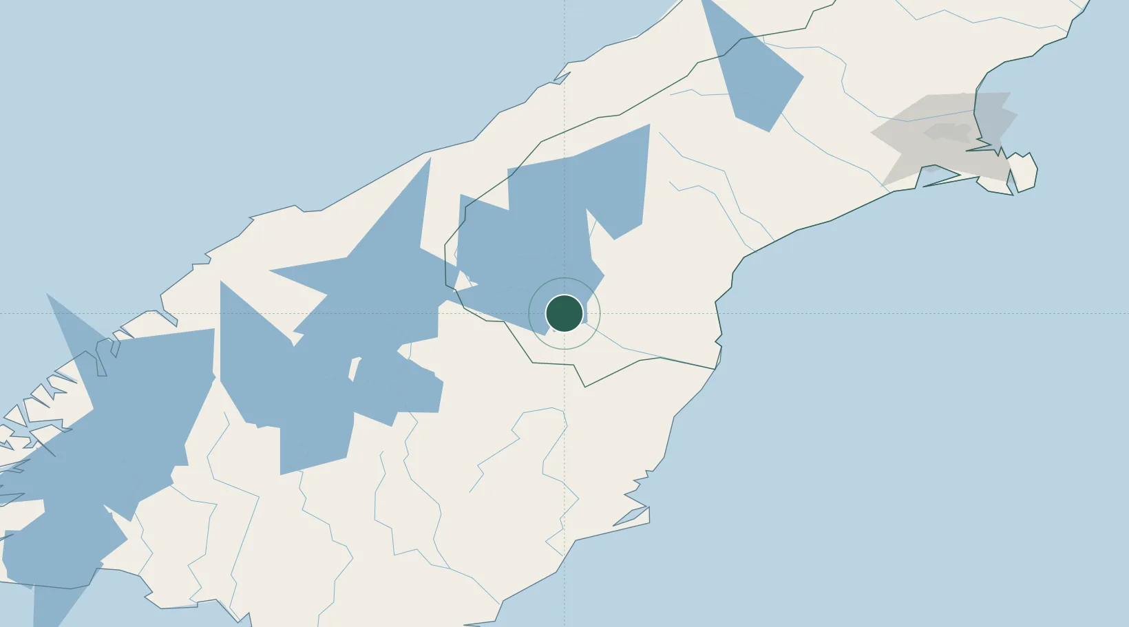
Populated place
Region
Otago
Population
183
Time zone
Pacific/Auckland
Elevation
291 m
Location
Nearby Logistics Neighbours
Cities
- 1Glenavy74 km
- 2Pareora75 km
- 3Pukeuri Junction76 km
- 4Timaru82 km
- 5Otago Harbour134 km
Ports
- 1Timaru82 km
- 2Otago Harbor137 km
- 3Port Lyttelton226 km
- 4Akaroa234 km
- 5Greymouth255 km
Airports
- 1Pukaki Airport44 km
- 2Oamaru Airport75 km
- 3Glentanner Airport80 km
- 4Wanaka Airport82 km
- 5Timaru Airport84 km
Trade Zones
- 1Hicks Bay Area Special Economic Zone1021 km
- 2Latrobe Valley Economic Growth Zone2104 km
- 3Rotuma-Kadavu Tax-Free Region3040 km
- 4Kalabu Tax Free Zone3047 km
- 5Nausori-Ba Tax-Free Region3055 km
DatabookThe Record of Consolidated Knowledge
New Zealand beyond logistics?