Transport Functions
Rail
Road
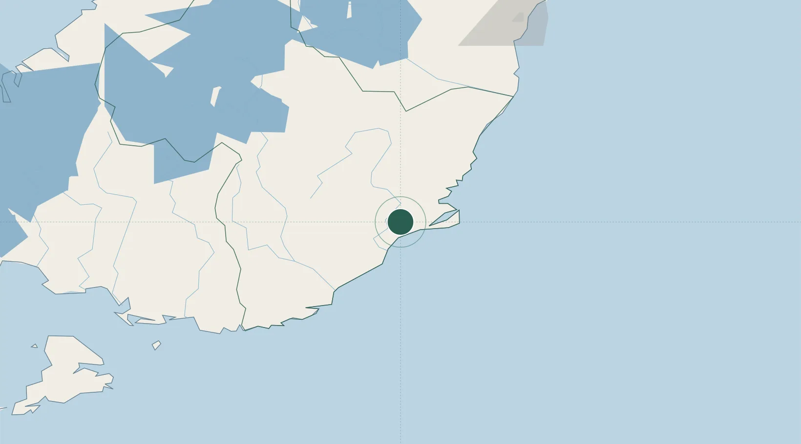
Hub Profile
Place type
Populated place
Region
Otago
Population
14,800
Time zone
Pacific/Auckland
Elevation
20 m
Location
Nearby Logistics Neighbours
Cities
- 1Dunedin13 km
- 2Ravensbourne16 km
- 3Port Chalmers20 km
- 4Otago Harbour22 km
- 5Milton41 km
Ports
- 1Otago Harbor23 km
- 2Bluff Harbor175 km
- 3Timaru178 km
- 4Akaroa309 km
- 5Port Lyttelton314 km
Airports
- 1Dunedin International Airport14 km
- 2Alexandra Aerodrome106 km
- 3Oamaru Airport115 km
- 4Wanaka Airport154 km
- 5Queenstown Airport157 km
Trade Zones
- 1Hicks Bay Area Special Economic Zone1122 km
- 2Latrobe Valley Economic Growth Zone2142 km
- 3Rotuma-Kadavu Tax-Free Region3171 km
- 4Kalabu Tax Free Zone3178 km
- 5Nausori-Ba Tax-Free Region3186 km
DatabookThe Record of Consolidated Knowledge
New Zealand beyond logistics?