Large airport · India

Bagdogra AirportVEBD
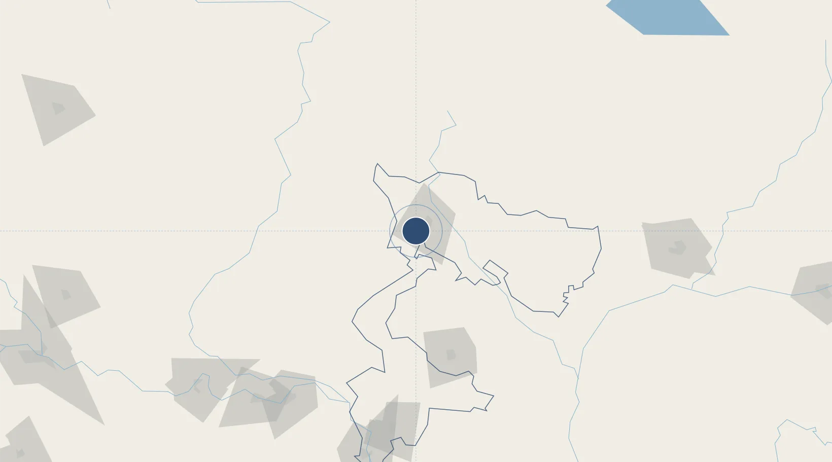
26.6812°, 88.3286°
9,035 ft
Longest runway
1
Runways
412 ft
Elevation

Runway & Layout

Bagdogra Airport runway & taxiway layout
Runway & taxiway layout — OpenStreetMap (ODbL) / OurAirports

Radio Frequencies

TWR
122.3 MHz
APP
131.2 MHz
A/G
293.1 MHz
RDO
OurAirports

Navaids

BBD VOR-DME Bagdogra 116.60 MHz
BD NDB Bagdogra 345 kHz
OurAirports

Runways · 1

RunwayDimensions SurfaceTrue headingLit
18/36 9,035 × 150ft Asphalt / concrete 181°
OurAirports

Airport Specifications

IATA code
IXB
OurAirports
ICAO code
VEBD
OurAirports
Airport class
Large airport
OurAirports
Scheduled service
Yes
OurAirports
Runway surface
Asphalt / concrete
OurAirports
Served city
Siliguri
OurAirports

Location

Location of VEBD
Natural Earth 10m (public domain) · West Bengal · VEBD · 26.68, 88.33GoogleOSMYandex

Nearby Logistics Neighbours

Airports
  1. 1Bhadrapur Airport28 km
  2. 2Taplejung Airport97 km
  3. 3Hashimara Air Force Station103 km
  4. 4Biratnagar Airport108 km
  5. 5Saidpur Airport118 km
Nearest neighbours — logibook spatial index (haversine) over the source coordinates
Cities
  1. 1Siliguri10 km
  2. 2Kulkuli Lcs11 km
  3. 3Loksan Lcs43 km
  4. 4Birpara Lcs44 km
  5. 5Nagarkata Lcs63 km
Nearest neighbours — logibook spatial index (haversine) over the source coordinates
Ports
  1. 1Calcutta459 km
  2. 2Mongla486 km
  3. 3Haldia Port519 km
  4. 4Chittagong600 km
  5. 5Dhamra667 km
Nearest neighbours — logibook spatial index (haversine) over the source coordinates
Trade Zones
  1. 1Jhapa Special Economic Zone73 km
  2. 2Panchagarh Economic Zone74 km
  3. 3Debiganj Economic Zone: Sujon75 km
  4. 4Dhamdum Industrial Park79 km
  5. 5Siraha Special Economic Zone84 km
Nearest neighbours — logibook spatial index (haversine) over the source coordinates
DatabookThe Record of Consolidated Knowledge
India beyond logistics?
Browse databook

All Sources

AirportsOurAirports
Public domain
Portsthe NGA World Port Index
Public domain (US gov)
LocationsUN/LOCODE
UN/LOCODE — free
Trade Zonesthe World Bank SEZ database
CC BY 4.0
Trade ZonesOpen Zone Map
CC BY
InfrastructureOpenStreetMap
ODbL 1.0
← India airports