Transport Functions
Port
Rail
Road
Hub Profile
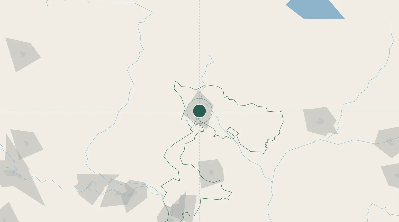
Place type
Populated place
Region
West Bengal
Population
515,574
Time zone
Asia/Kolkata
Elevation
124 m
Location
Nearby Logistics Neighbours
Cities
- 1Kulkuli Lcs2 km
- 2Loksan Lcs37 km
- 3Birpara Lcs39 km
- 4Nagarkata Lcs54 km
- 5Chuchungsa58 km
Ports
- 1Calcutta463 km
- 2Mongla488 km
- 3Haldia Port524 km
- 4Chittagong598 km
- 5Dhamra672 km
Airports
- 1Bagdogra Airport10 km
- 2Bhadrapur Airport37 km
- 3Hashimara Air Force Station95 km
- 4Taplejung Airport100 km
- 5Saidpur Airport117 km
Trade Zones
DatabookThe Record of Consolidated Knowledge
India beyond logistics?