UN/LOCODE hub · India
INKMA

Kulkuli Lcs

26.7167°, 88.4333°
1
Transport functions

Transport Functions

Multimodal
UN/LOCODE

Hub Profile

Region
WB
GeoNames

Location

Location of INKMA
Natural Earth 10m (public domain) · WB · INKMA · 26.72, 88.43GoogleOSMYandex

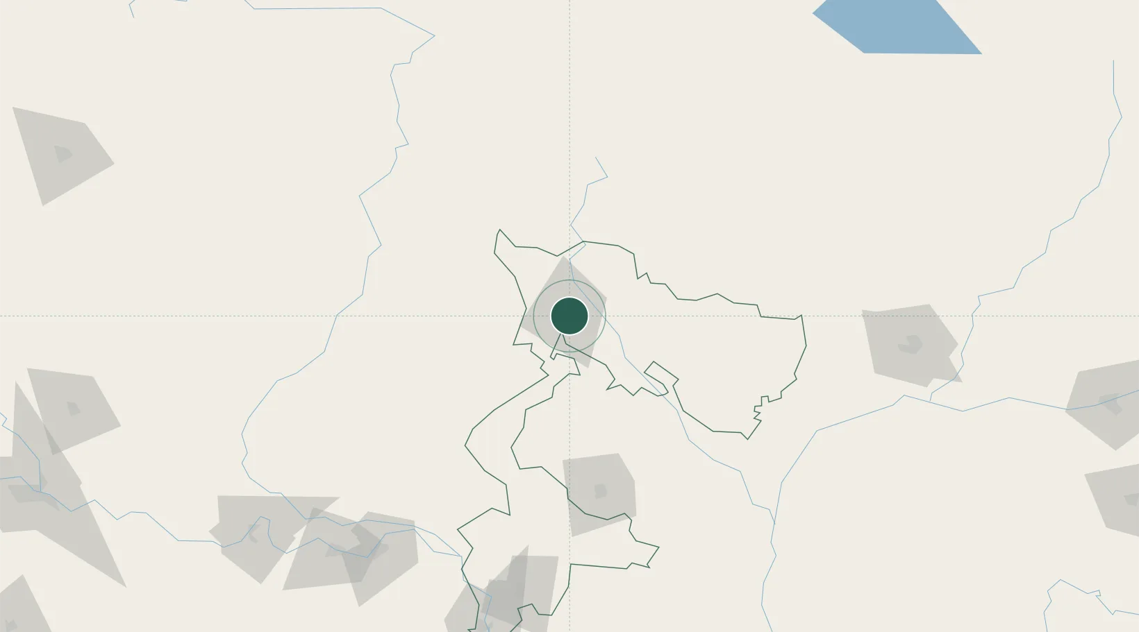
Nearby Logistics Neighbours

Cities
  1. 1Siliguri2 km
  2. 2Loksan Lcs36 km
  3. 3Birpara Lcs37 km
  4. 4Nagarkata Lcs52 km
  5. 5Chuchungsa57 km
Nearest neighbours — logibook spatial index (haversine) over the source coordinates
Ports
  1. 1Calcutta463 km
  2. 2Mongla487 km
  3. 3Haldia Port524 km
  4. 4Chittagong597 km
  5. 5Dhamra673 km
Nearest neighbours — logibook spatial index (haversine) over the source coordinates
Airports
  1. 1Bagdogra Airport11 km
  2. 2Bhadrapur Airport39 km
  3. 3Hashimara Air Force Station93 km
  4. 4Taplejung Airport102 km
  5. 5Saidpur Airport117 km
Nearest neighbours — logibook spatial index (haversine) over the source coordinates
Trade Zones
  1. 1Dhamdum Industrial Park68 km
  2. 2Panchagarh Economic Zone73 km
  3. 3Debiganj Economic Zone: Sujon73 km
  4. 4Jhapa Special Economic Zone84 km
  5. 5Nilphamari Economic Zone92 km
Nearest neighbours — logibook spatial index (haversine) over the source coordinates
DatabookThe Record of Consolidated Knowledge
India beyond logistics?
Browse databook

All Sources

LocationsUN/LOCODE
UN/LOCODE — free
Portsthe NGA World Port Index
Public domain (US gov)
AirportsOurAirports
Public domain
Trade Zonesthe World Bank SEZ database
CC BY 4.0
Trade ZonesOpen Zone Map
CC BY
← India locations