Transport Functions
Port
Hub Profile
Place type
Populated place
Region
Trøndelag
Time zone
Europe/Oslo
Elevation
30 m
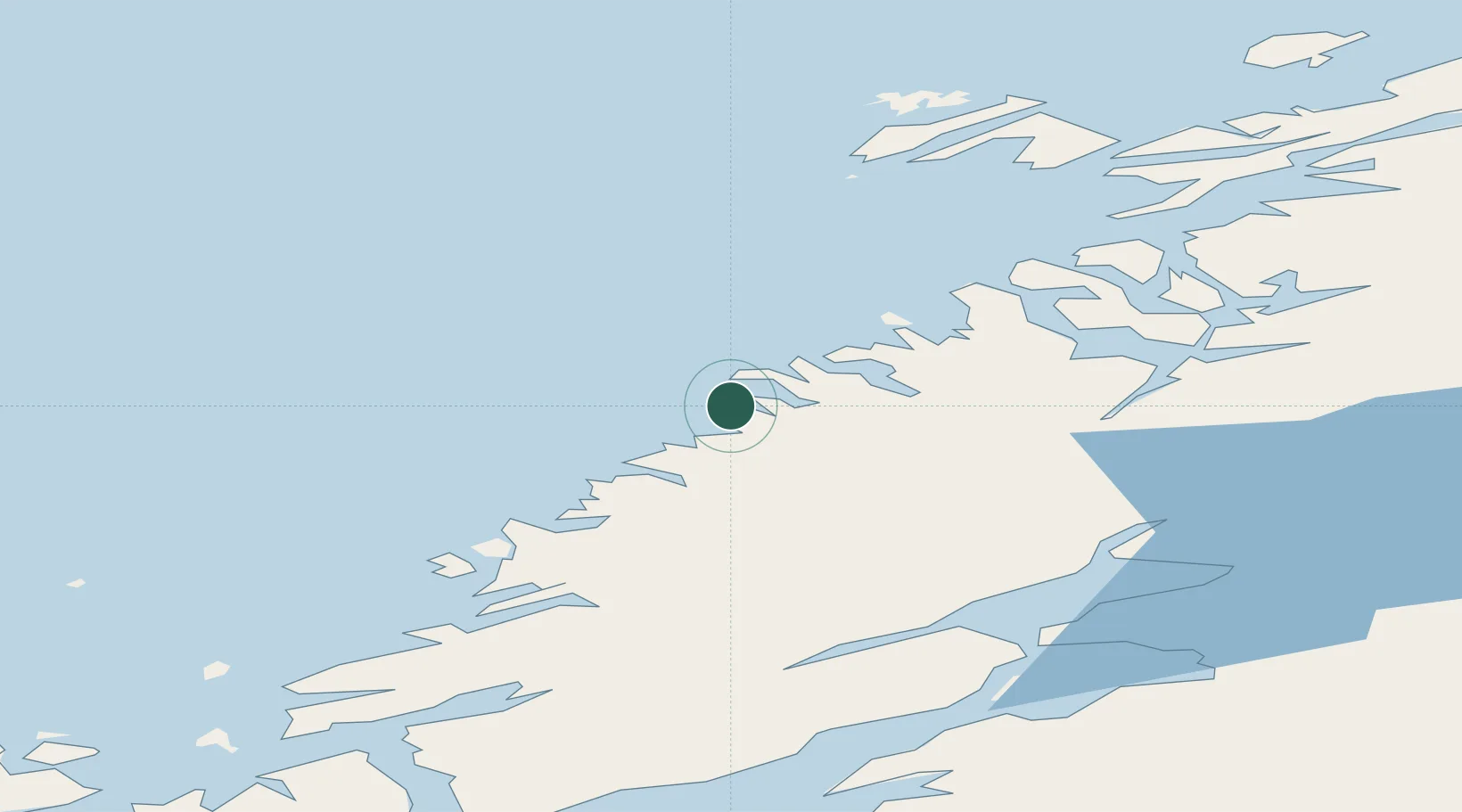
Location
Nearby Logistics Neighbours
Cities
- 1Sandviksberget4 km
- 2Brandsfjord19 km
- 3Utvorda36 km
- 4Stokksund41 km
- 5Herfjord44 km
Airports
- 1Namsos Airport55 km
- 2Rørvik Airport, Ryum63 km
- 3Ørland Airport84 km
- 4Trondheim Airport, Værnes102 km
- 5Brønnøysund Airport, Brønnøy149 km
Trade Zones
- 1Stockholm Free Zone685 km
- 2Gothenburg Boundless Customs Warehouse742 km
- 3Turku Free Zone743 km
- 4Jönköping Free Zone757 km
- 5Freeport of Hanko817 km
DatabookThe Record of Consolidated Knowledge
Norway beyond logistics?