UN/LOCODE hub · Norway
NOSAI

Sandviksberget

64.3167°, 10.4500°
1
Transport functions

Transport Functions

Port
UN/LOCODE

Hub Profile

Region
16
GeoNames

Location

Location of NOSAI
Natural Earth 10m (public domain) · 16 · NOSAI · 64.32, 10.45GoogleOSMYandex

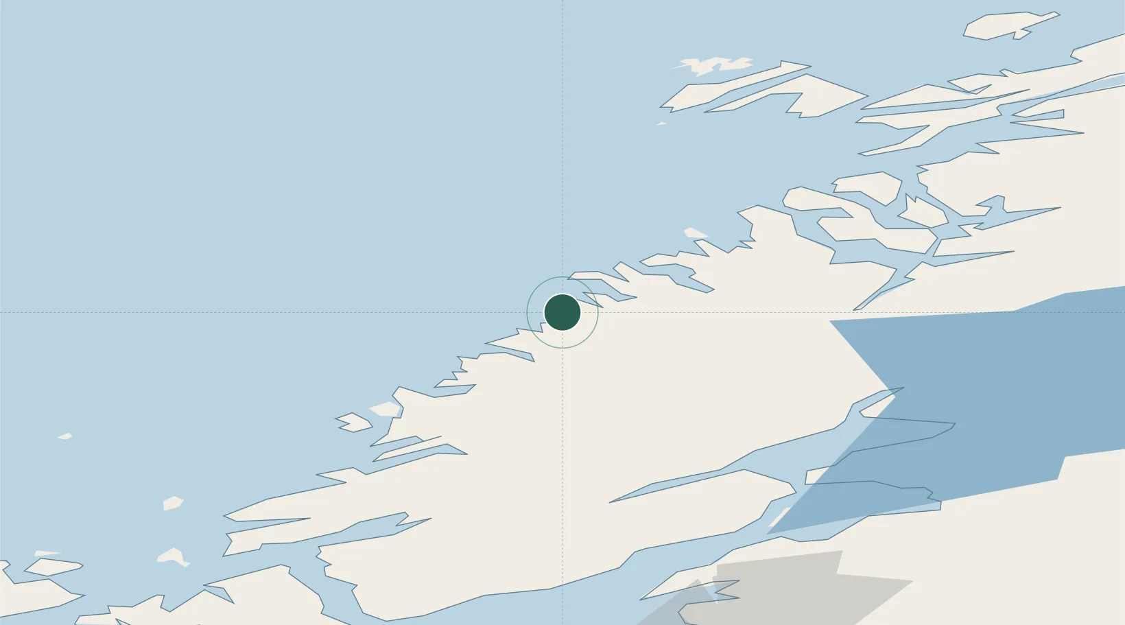
Nearby Logistics Neighbours

Cities
  1. 1Vingsand4 km
  2. 2Brandsfjord16 km
  3. 3Stokksund37 km
  4. 4Utvorda40 km
  5. 5Herfjord41 km
Nearest neighbours — logibook spatial index (haversine) over the source coordinates
Ports
  1. 1Malm47 km
  2. 2Namsos53 km
  3. 3Steinkjer60 km
  4. 4Rorvik72 km
  5. 5Levanger75 km
Nearest neighbours — logibook spatial index (haversine) over the source coordinates
Airports
  1. 1Namsos Airport57 km
  2. 2Rørvik Airport, Ryum67 km
  3. 3Ørland Airport80 km
  4. 4Trondheim Airport, Værnes98 km
  5. 5Brønnøysund Airport, Brønnøy152 km
Nearest neighbours — logibook spatial index (haversine) over the source coordinates
Trade Zones
  1. 1Stockholm Free Zone682 km
  2. 2Gothenburg Boundless Customs Warehouse739 km
  3. 3Turku Free Zone742 km
  4. 4Jönköping Free Zone754 km
  5. 5Freeport of Hanko815 km
Nearest neighbours — logibook spatial index (haversine) over the source coordinates
DatabookThe Record of Consolidated Knowledge
Norway beyond logistics?
Browse databook

All Sources

LocationsUN/LOCODE
UN/LOCODE — free
Portsthe NGA World Port Index
Public domain (US gov)
AirportsOurAirports
Public domain
Trade Zonesthe World Bank SEZ database
CC BY 4.0
Trade ZonesOpen Zone Map
CC BY
← Norway locations