UN/LOCODE hub · Norway
NOHEF

Herfjord

64.0000°, 10.0333°
1
Transport functions

Transport Functions

Port
UN/LOCODE

Hub Profile

Place type
Populated place
GeoNames
Region
Trøndelag
GeoNames
Time zone
Europe/Oslo
GeoNames
Elevation
40 m
GeoNames

Location

Location of NOHEF
Natural Earth 10m (public domain) · Trøndelag · NOHEF · 64.00, 10.03GoogleOSMYandex

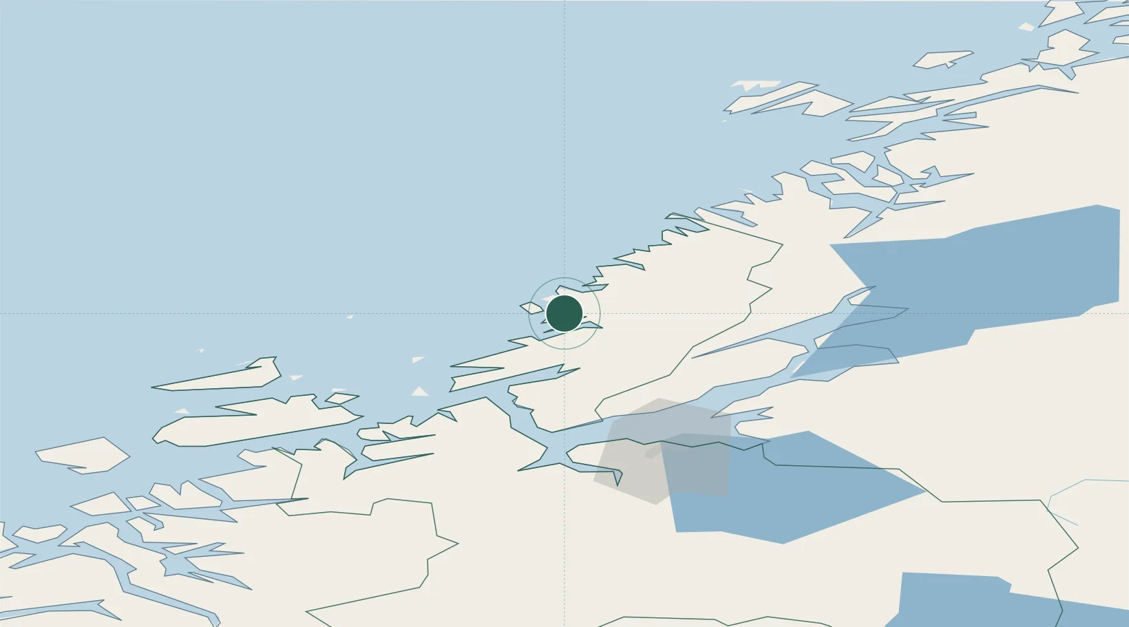
Nearby Logistics Neighbours

Cities
  1. 1Stokksund4 km
  2. 2Nordfosen9 km
  3. 3Lysøysund15 km
  4. 4Vallersund22 km
  5. 5Brandsfjord26 km
Nearest neighbours — logibook spatial index (haversine) over the source coordinates
Ports
  1. 1Malm59 km
  2. 2Fiborgtangen63 km
  3. 3Trondheim64 km
  4. 4Langstein66 km
  5. 5Levanger67 km
Nearest neighbours — logibook spatial index (haversine) over the source coordinates
Airports
  1. 1Ørland Airport40 km
  2. 2Trondheim Airport, Værnes75 km
  3. 3Namsos Airport91 km
  4. 4Rørvik Airport, Ryum107 km
  5. 5Kristiansund Airport, Kvernberget147 km
Nearest neighbours — logibook spatial index (haversine) over the source coordinates
Trade Zones
  1. 1Stockholm Free Zone669 km
  2. 2Gothenburg Boundless Customs Warehouse706 km
  3. 3Jönköping Free Zone727 km
  4. 4Turku Free Zone743 km
  5. 5Freeport of Hanko815 km
Nearest neighbours — logibook spatial index (haversine) over the source coordinates
DatabookThe Record of Consolidated Knowledge
Norway beyond logistics?
Browse databook

All Sources

LocationsUN/LOCODE
UN/LOCODE — free
Portsthe NGA World Port Index
Public domain (US gov)
AirportsOurAirports
Public domain
Trade Zonesthe World Bank SEZ database
CC BY 4.0
Trade ZonesOpen Zone Map
CC BY
← Norway locations