UN/LOCODE hub · Norway
NOBSF

Brandsfjord

64.1833°, 10.3500°
1
Transport functions

Transport Functions

Port
UN/LOCODE

Hub Profile

Region
16
GeoNames

Location

Location of NOBSF
Natural Earth 10m (public domain) · 16 · NOBSF · 64.18, 10.35GoogleOSMYandex

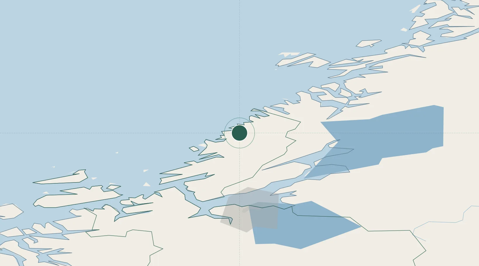
Nearby Logistics Neighbours

Cities
  1. 1Sandviksberget16 km
  2. 2Vingsand19 km
  3. 3Stokksund22 km
  4. 4Herfjord26 km
  5. 5Nordfosen27 km
Nearest neighbours — logibook spatial index (haversine) over the source coordinates
Ports
  1. 1Malm45 km
  2. 2Steinkjer58 km
  3. 3Namsos64 km
  4. 4Fiborgtangen65 km
  5. 5Levanger66 km
Nearest neighbours — logibook spatial index (haversine) over the source coordinates
Airports
  1. 1Ørland Airport65 km
  2. 2Namsos Airport67 km
  3. 3Rørvik Airport, Ryum82 km
  4. 4Trondheim Airport, Værnes85 km
  5. 5Brønnøysund Airport, Brønnøy167 km
Nearest neighbours — logibook spatial index (haversine) over the source coordinates
Trade Zones
  1. 1Stockholm Free Zone674 km
  2. 2Gothenburg Boundless Customs Warehouse725 km
  3. 3Turku Free Zone739 km
  4. 4Jönköping Free Zone741 km
  5. 5Freeport of Hanko812 km
Nearest neighbours — logibook spatial index (haversine) over the source coordinates
DatabookThe Record of Consolidated Knowledge
Norway beyond logistics?
Browse databook

All Sources

LocationsUN/LOCODE
UN/LOCODE — free
Portsthe NGA World Port Index
Public domain (US gov)
AirportsOurAirports
Public domain
Trade Zonesthe World Bank SEZ database
CC BY 4.0
Trade ZonesOpen Zone Map
CC BY
← Norway locations