Transport Functions
Port
Road
Hub Profile
Place type
Populated place
Region
Vestfold
Time zone
Europe/Oslo
Elevation
17 m
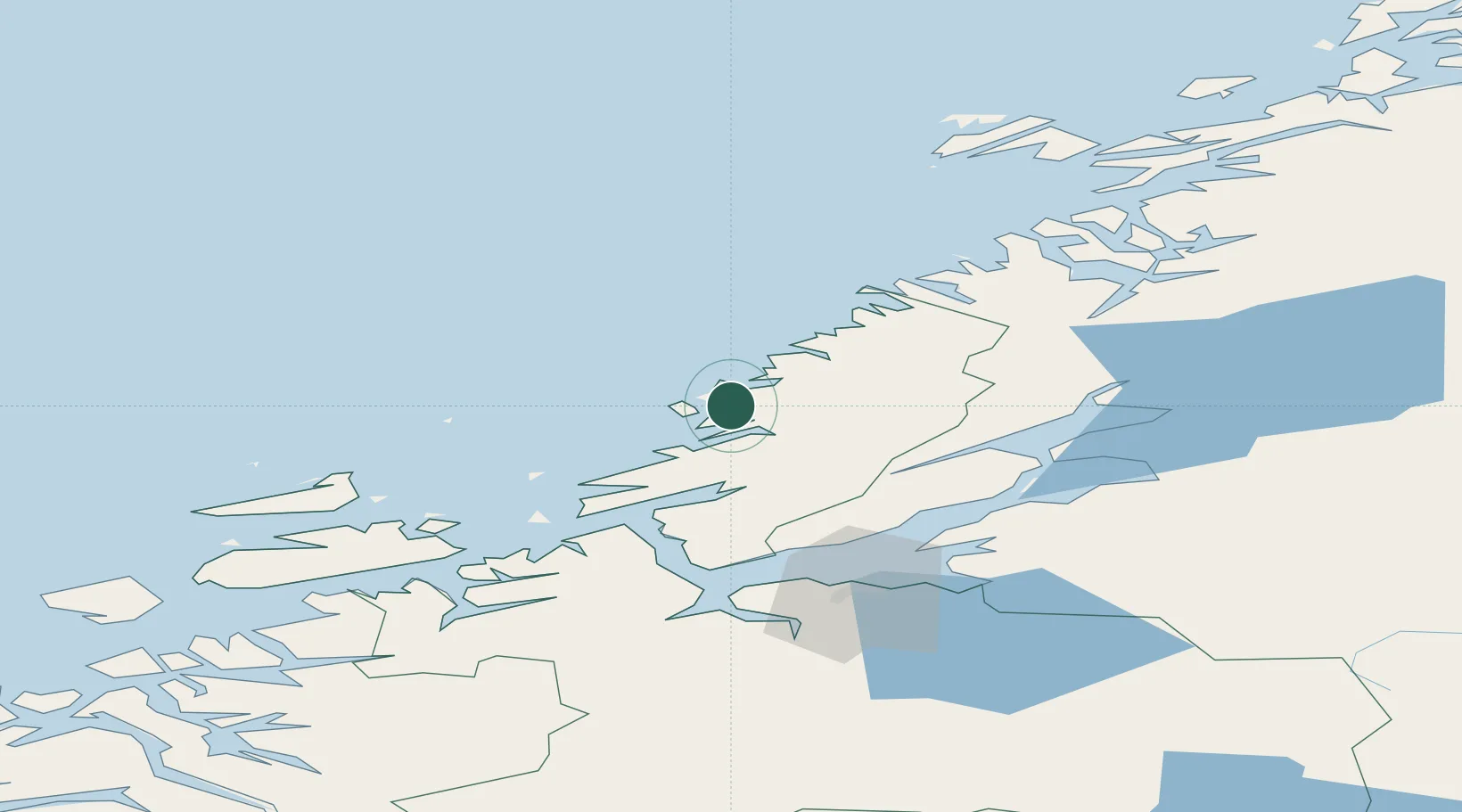
Location
Nearby Logistics Neighbours
Cities
- 1Herfjord4 km
- 2Nordfosen11 km
- 3Lysøysund19 km
- 4Brandsfjord22 km
- 5Vallersund25 km
Ports
- 1Malm57 km
- 2Fiborgtangen64 km
- 3Trondheim67 km
- 4Langstein68 km
- 5Levanger68 km
Airports
- 1Ørland Airport43 km
- 2Trondheim Airport, Værnes77 km
- 3Namsos Airport89 km
- 4Rørvik Airport, Ryum104 km
- 5Kristiansund Airport, Kvernberget150 km
Trade Zones
- 1Stockholm Free Zone671 km
- 2Gothenburg Boundless Customs Warehouse710 km
- 3Jönköping Free Zone730 km
- 4Turku Free Zone744 km
- 5Freeport of Hanko816 km
DatabookThe Record of Consolidated Knowledge
Norway beyond logistics?