UN/LOCODE hub · Norway
NOOTO

Ottersøy

64.8667°, 11.2833°
1
Transport functions

Transport Functions

Port
UN/LOCODE

Hub Profile

Region
17
GeoNames

Location

Location of NOOTO
Natural Earth 10m (public domain) · 17 · NOOTO · 64.87, 11.28GoogleOSMYandex

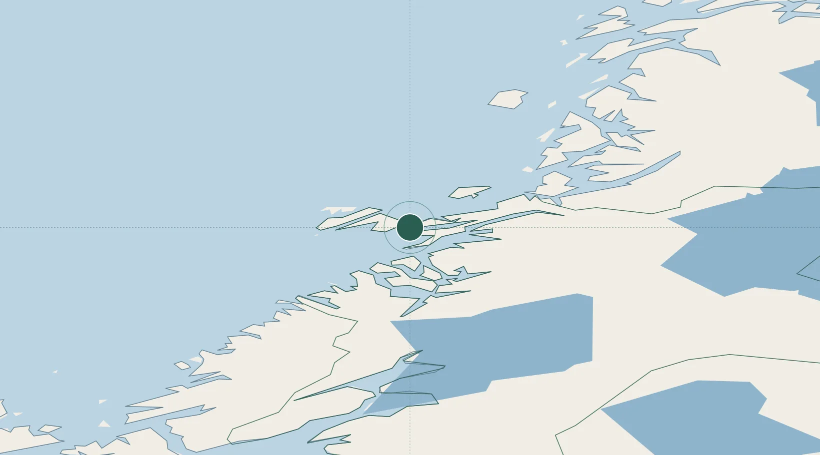
Nearby Logistics Neighbours

Cities
  1. 1Ottersøya2 km
  2. 2Rørvik3 km
  3. 3Abelvær16 km
  4. 4Salsbruket29 km
  5. 5Utvorda34 km
Nearest neighbours — logibook spatial index (haversine) over the source coordinates
Ports
  1. 1Rorvik2 km
  2. 2Salsbruket28 km
  3. 3Namsos47 km
  4. 4Berg70 km
  5. 5Bronnoysund79 km
Nearest neighbours — logibook spatial index (haversine) over the source coordinates
Airports
  1. 1Rørvik Airport, Ryum7 km
  2. 2Namsos Airport46 km
  3. 3Brønnøysund Airport, Brønnøy79 km
  4. 4Sandnessjøen Airport, Stokka133 km
  5. 5Mosjøen Airport, Kjærstad136 km
Nearest neighbours — logibook spatial index (haversine) over the source coordinates
Trade Zones
  1. 1Stockholm Free Zone708 km
  2. 2Turku Free Zone742 km
  3. 3Gothenburg Boundless Customs Warehouse797 km
  4. 4Jönköping Free Zone803 km
  5. 5Freeport of Hanko818 km
Nearest neighbours — logibook spatial index (haversine) over the source coordinates
DatabookThe Record of Consolidated Knowledge
Norway beyond logistics?
Browse databook

All Sources

LocationsUN/LOCODE
UN/LOCODE — free
Portsthe NGA World Port Index
Public domain (US gov)
AirportsOurAirports
Public domain
Trade Zonesthe World Bank SEZ database
CC BY 4.0
Trade ZonesOpen Zone Map
CC BY
← Norway locations