Transport Functions
Port
Hub Profile
Place type
Populated place
Region
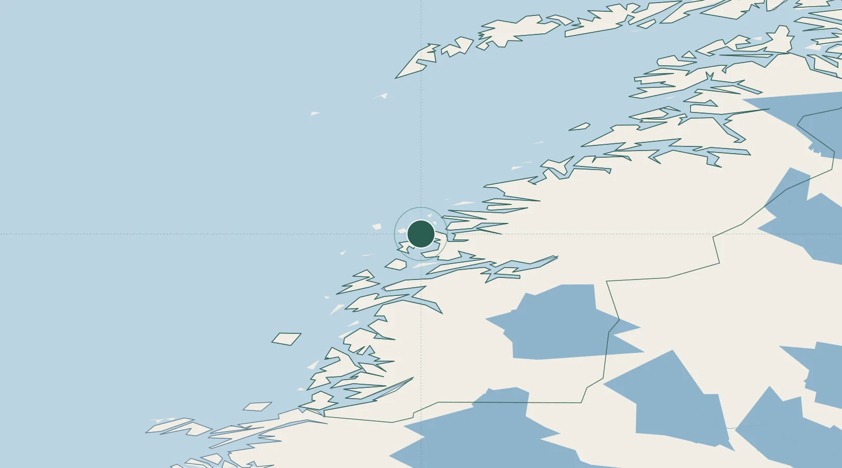
Nordland
Time zone
Europe/Oslo
Elevation
20 m
Location
Nearby Logistics Neighbours
Cities
- 1Lurøy13 km
- 2Stokkvågen20 km
- 3Vågaholmen26 km
- 4Ågskardet31 km
- 5Lovund32 km
Ports
- 1Nesna35 km
- 2Hemnesberget42 km
- 3Ornes50 km
- 4Glomfjord54 km
- 5Mo I Rana54 km
Airports
- 1Mo i Rana Airport, Røssvoll60 km
- 2Sandnessjøen Airport, Stokka67 km
- 3Mosjøen Airport, Kjærstad82 km
- 4Bodø Airport103 km
- 5Røst Airport119 km
Trade Zones
- 1Oulu Port Free Warehouse Area590 km
- 2Turku Free Zone814 km
- 3Stockholm Free Zone837 km
- 4Freeport of Hanko892 km
- 5Paldiski Free Zone973 km
DatabookThe Record of Consolidated Knowledge
Norway beyond logistics?