Transport Functions
Port
Hub Profile
Place type
Provincial seat
Region
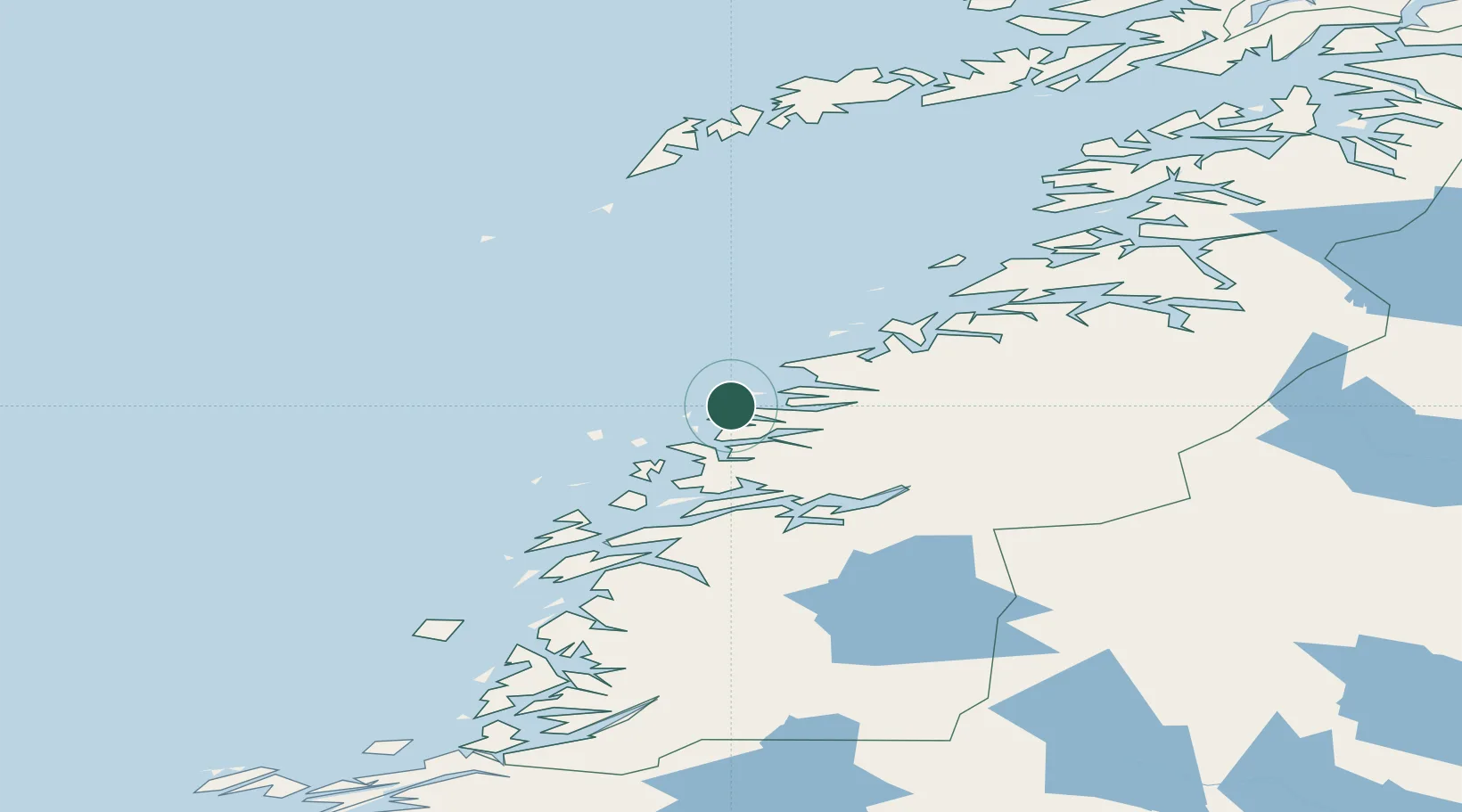
Nordland
Time zone
Europe/Oslo
Elevation
40 m
Location
Nearby Logistics Neighbours
Cities
- 1Ågskardet9 km
- 2Forøy10 km
- 3Halsa Meløy10 km
- 4Ørnes25 km
- 5Tonnes26 km
Ports
- 1Ornes25 km
- 2Glomfjord32 km
- 3Hemnesberget56 km
- 4Mo I Rana57 km
- 5Nesna59 km
Airports
- 1Mo i Rana Airport, Røssvoll60 km
- 2Bodø Airport77 km
- 3Sandnessjøen Airport, Stokka92 km
- 4Røst Airport104 km
- 5Mosjøen Airport, Kjærstad104 km
Trade Zones
- 1Oulu Port Free Warehouse Area583 km
- 2Turku Free Zone824 km
- 3Stockholm Free Zone854 km
- 4Freeport of Hanko902 km
- 5Paldiski Free Zone982 km
DatabookThe Record of Consolidated Knowledge
Norway beyond logistics?