UN/LOCODE hub · Norway
NOLOV

Lovund

66.3667°, 12.3833°
349
Population
2
Transport functions

Transport Functions

Port
Road
UN/LOCODE

Hub Profile

Place type
Locality
GeoNames
Region
Nordland
GeoNames
Population
349
GeoNames
Time zone
Europe/Oslo
GeoNames
Elevation
1 m
GeoNames

Location

Location of NOLOV
Natural Earth 10m (public domain) · Nordland · NOLOV · 66.37, 12.38GoogleOSMYandex

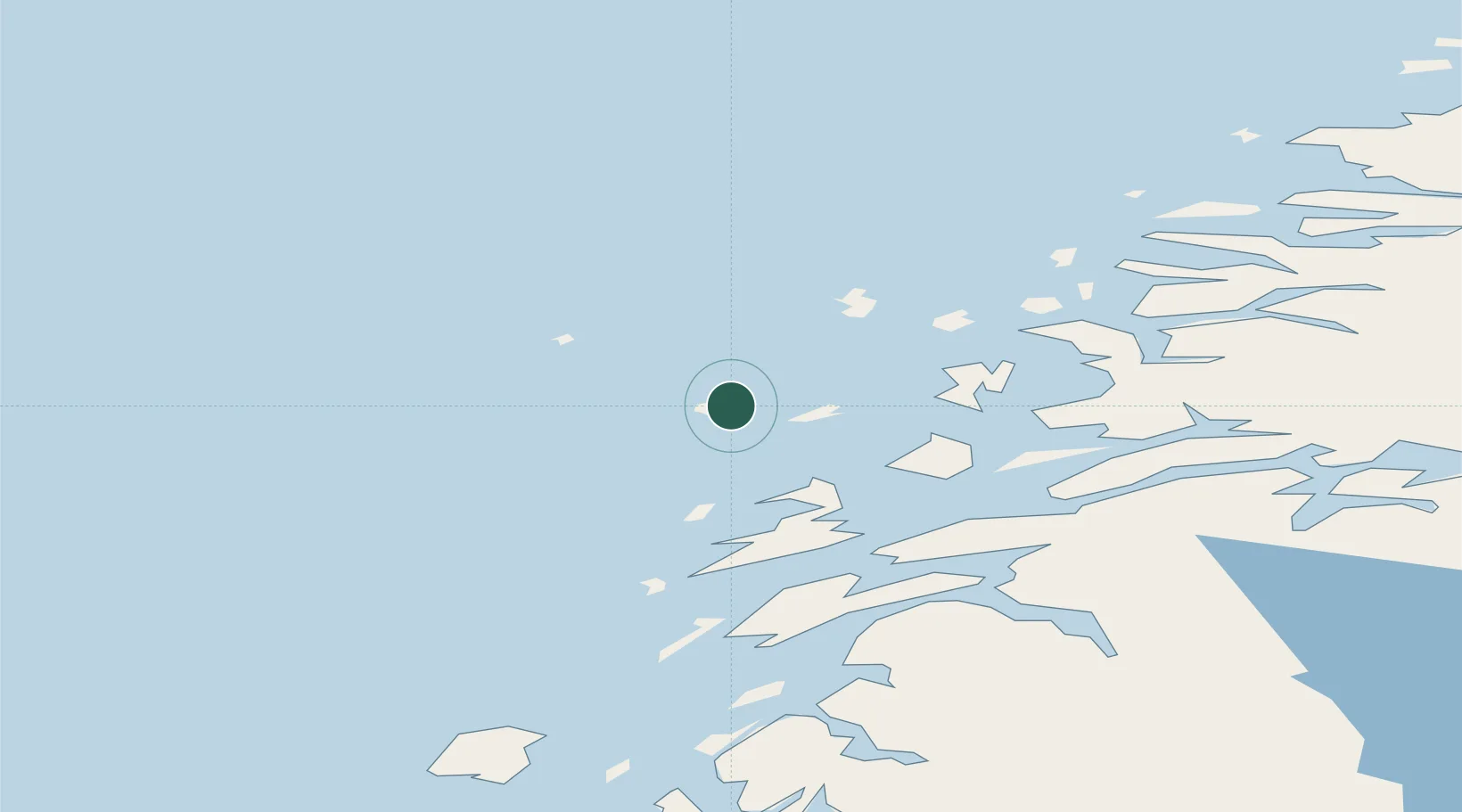
Nearby Logistics Neighbours

Cities
  1. 1Træna20 km
  2. 2Lurøy21 km
  3. 3Stokkvågen28 km
  4. 4Vikholmen32 km
  5. 5Tonnes32 km
Nearest neighbours — logibook spatial index (haversine) over the source coordinates
Ports
  1. 1Nesna34 km
  2. 2Sandnessjoen39 km
  3. 3Hemnesberget57 km
  4. 4Tjotta61 km
  5. 5Mosjoen67 km
Nearest neighbours — logibook spatial index (haversine) over the source coordinates
Airports
  1. 1Sandnessjøen Airport, Stokka46 km
  2. 2Mosjøen Airport, Kjærstad75 km
  3. 3Mo i Rana Airport, Røssvoll86 km
  4. 4Brønnøysund Airport, Brønnøy101 km
  5. 5Røst Airport130 km
Nearest neighbours — logibook spatial index (haversine) over the source coordinates
Trade Zones
  1. 1Oulu Port Free Warehouse Area615 km
  2. 2Turku Free Zone819 km
  3. 3Stockholm Free Zone832 km
  4. 4Freeport of Hanko896 km
  5. 5Jönköping Free Zone960 km
Nearest neighbours — logibook spatial index (haversine) over the source coordinates
DatabookThe Record of Consolidated Knowledge
Norway beyond logistics?
Browse databook

All Sources

LocationsUN/LOCODE
UN/LOCODE — free
LocationsGeoNames
CC BY 4.0
Portsthe NGA World Port Index
Public domain (US gov)
AirportsOurAirports
Public domain
Trade Zonesthe World Bank SEZ database
CC BY 4.0
Trade ZonesOpen Zone Map
CC BY
← Norway locations