UN/LOCODE hub · Norway
NOT8N

Oteren

69.2667°, 19.9000°
2
Transport functions

Transport Functions

Port
Multimodal
UN/LOCODE

Hub Profile

Region
19
GeoNames

Location

Location of NOT8N
Natural Earth 10m (public domain) · 19 · NOT8N · 69.27, 19.90GoogleOSMYandex

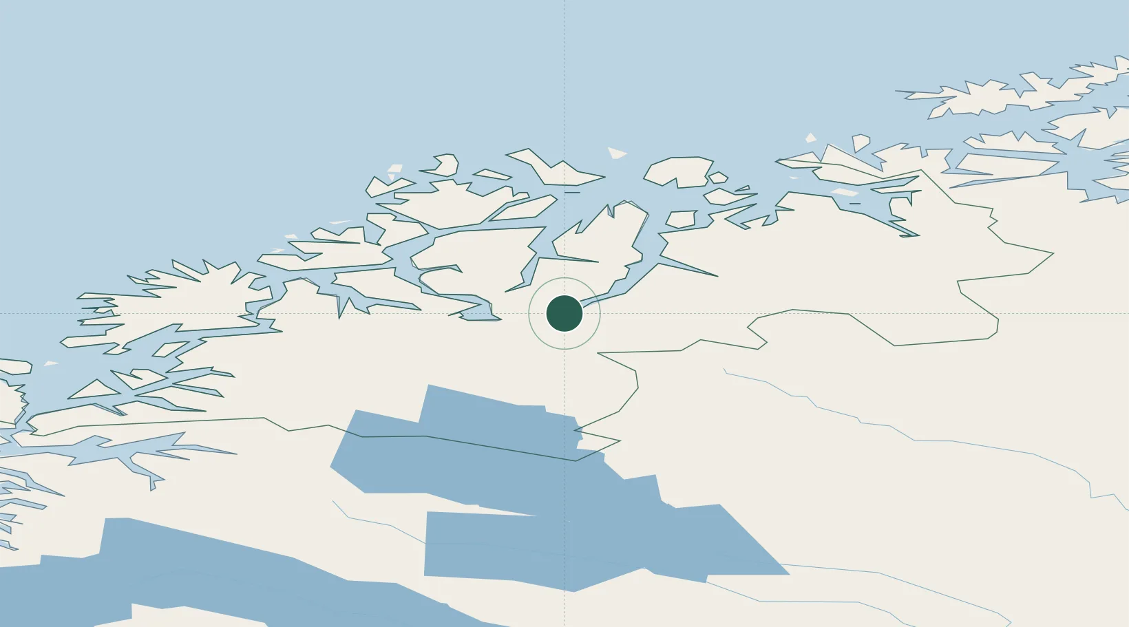
Nearby Logistics Neighbours

Cities
  1. 1Skibotn19 km
  2. 2Nordkjosbotn22 km
  3. 3Balsfjord27 km
  4. 4Tytebærvika37 km
  5. 5Jøvik37 km
Nearest neighbours — logibook spatial index (haversine) over the source coordinates
Ports
  1. 1Olavsvern45 km
  2. 2Tromso56 km
  3. 3Gibostad72 km
  4. 4Finnsnes76 km
  5. 5Sjovegan93 km
Nearest neighbours — logibook spatial index (haversine) over the source coordinates
Airports
  1. 1Bardufoss Airport59 km
  2. 2Tromsø Airport60 km
  3. 3Sørkjosen Airport71 km
  4. 4Andøya Airport, Andenes148 km
  5. 5Harstad/Narvik Airport155 km
Nearest neighbours — logibook spatial index (haversine) over the source coordinates
Trade Zones
  1. 1Oulu Port Free Warehouse Area531 km
  2. 2Turku Free Zone987 km
  3. 3Free Zone of Lappeenranta990 km
  4. 4Port of Hamina-Kotka1032 km
  5. 5Freeport of Hanko1059 km
Nearest neighbours — logibook spatial index (haversine) over the source coordinates
DatabookThe Record of Consolidated Knowledge
Norway beyond logistics?
Browse databook

All Sources

LocationsUN/LOCODE
UN/LOCODE — free
Portsthe NGA World Port Index
Public domain (US gov)
AirportsOurAirports
Public domain
Trade Zonesthe World Bank SEZ database
CC BY 4.0
Trade ZonesOpen Zone Map
CC BY
← Norway locations